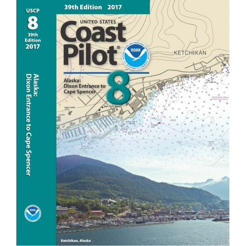




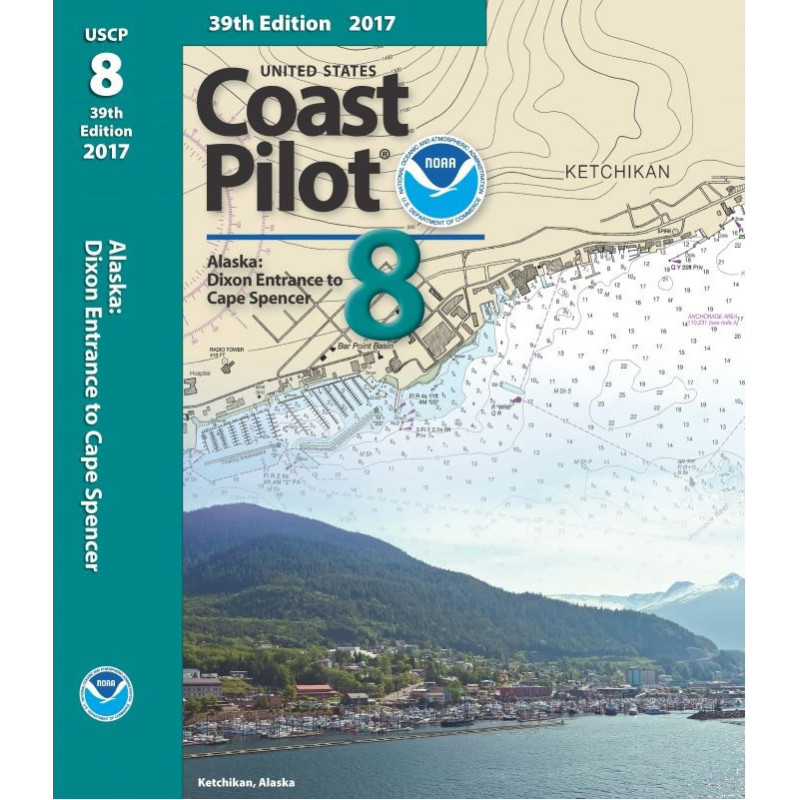
Your go-to resource for Alaska’s panhandle (Dixon Entrance to Cape Spencer), featuring vital data on channels, tides, hazards, and federal rules to ensure precise and secure navigation.
Data sheet
Specific References
Navigate Alaska’s intricate waterways with confidence using the United States Coast Pilot 08, the definitive nautical reference for mariners operating between Dixon Entrance and Cape Spencer. This comprehensive guide delivers critical, up-to-date information tailored to commercial vessels, fishing fleets, and professional mariners navigating one of the most challenging coastal regions in North America. From deep-water channels to remote inlets, this volume ensures you have the precise data needed to plan safe, efficient voyages in Alaska’s dynamic maritime environment.
The waters between Dixon Entrance and Cape Spencer encompass over 250 nautical miles of open ocean and 11,085 miles of tidal shoreline, including fjords, straits, and narrow passages. This guide provides exhaustive coverage of the region’s unique hydrography, offering detailed descriptions of navigational hazards, tidal currents, and weather patterns that can shift rapidly. Whether transiting Clarence Strait, navigating the Inside Passage, or approaching Juneau, this volume equips you with the localized knowledge to mitigate risks and optimize routing.
Designed for commercial operators, this guide goes beyond basic charts to deliver actionable intelligence for large vessels. It includes critical data on bridge clearances, cable crossings, and anchorage depths, as well as federal regulations governing vessel traffic, environmental protection, and safety protocols. The guide also features in-depth analysis of ice conditions, seasonal weather phenomena, and local pilotage requirements—essential for vessels operating in subarctic waters where conditions can change without warning.
As part of the nine-volume United States Coast Pilot series, this edition upholds the rigorous standards set by the nation’s premier maritime authority. Updated with the latest hydrographic surveys and regulatory changes, it reflects the most current information available, ensuring compliance with U.S. Coast Guard and international maritime regulations. Its durable paperback format is built to withstand the demands of bridge use, providing reliable access to vital data even in harsh conditions.
For mariners, time is safety—and this guide saves both. By consolidating decades of local knowledge, hydrographic data, and regulatory updates into a single, easy-to-reference volume, it eliminates guesswork and reduces the risk of costly errors. Whether you’re a captain, pilot, or fleet operator, this is the tool you need to navigate Alaska’s waters with precision, efficiency, and peace of mind.
Navigate Alaska’s Panhandle with Unmatched Precision
The United States Coast Pilot 08 is the authoritative nautical guide for mariners operating between Dixon Entrance and Cape Spencer, covering over 11,000 miles of tidal shoreline and 250 nautical miles of open ocean. This paperback edition delivers essential, up-to-date information for commercial vessels, fishing fleets, and professional mariners navigating one of the most complex maritime regions in the U.S. With detailed coverage of channels, hazards, and federal regulations, it’s the indispensable resource for safe, compliant voyages in Alaska’s dynamic waters.
Built for Professional Use: Data You Can Trust
Weighing 1.8 kg and measuring 8½ x 11 inches, this guide is designed for durability and ease of use on the bridge. It includes critical details on bridge clearances, cable crossings, and anchorage depths, as well as localized insights into ice conditions, tidal currents, and weather patterns. Updated with the latest hydrographic surveys, it ensures compliance with U.S. Coast Guard and international maritime standards, making it a must-have for vessels operating in subarctic conditions.
Comprehensive Coverage for Every Voyage
From the narrow passages of the Inside Passage to the open waters of Clarence Strait, this guide provides exhaustive coverage of Alaska’s southeastern coast. It features in-depth descriptions of navigational hazards, pilotage requirements, and federal regulations, along with practical information on ports, harbors, and small-boat facilities. Whether you’re planning a routine transit or navigating challenging conditions, this volume equips you with the precise data needed to make informed decisions.
The United States Coast Pilot 08 is a 47th edition (2017) paperback guide covering Alaska’s Dixon Entrance to Cape Spencer, spanning 250 nautical miles of ocean and 11,085 miles of tidal shoreline. Weighing 1.8 kg with dimensions of 8½ x 11 inches, it provides detailed navigational data, including bridge clearances, tidal currents, and federal regulations, in a durable, bridge-ready format.
For over a century, the United States Coast Pilot series has set the standard for nautical references, providing mariners with accurate, up-to-date information for safe navigation along U.S. coastlines. Published by the nation’s premier maritime authority, these guides are trusted by commercial fleets, fishing vessels, and professional mariners worldwide for their reliability and precision in even the most challenging waters.
The publication covers approximately 250 nautical miles of ocean coastline and 11,085 miles of tidal shoreline.
Yes, it includes precise information on bridge heights, underwater cables, and other potential navigational obstructions.
Yes, it provides detailed information on seasonal ice conditions relevant to the covered region.
The book measures approximately 8½ x 11 inches.
This 2017 edition includes traffic separation schemes applicable at the time of publication, though newer editions may have updates.
Yes, it includes federal regulations applicable to navigation in the covered waters.
The complete series consists of nine volumes covering different coastal regions of the United States.
You might also like



























































![Admiralty - NP054 - Sailing directions: North Sea [West]](https://www.nautic-way.com/68595-home_default/admiralty-np054-sailing-directions-north-sea-west-maritime-bookshop-nautic-way.jpg)
![Admiralty - NP055 - Sailing directions: North Sea [East]](https://www.nautic-way.com/90871-home_default/admiralty-np055-sailing-directions-north-sea-east-maritime-bookshop-nautic-way.jpg)