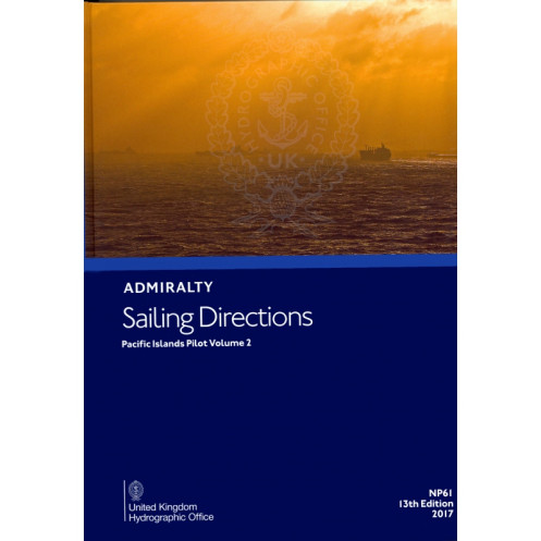




Ensure safe and precise navigation in the Pacific Islands with this detailed guide. Covers key regions like New Caledonia and Vanuatu, offering critical port and coastal insights for mariners.
Data sheet
Specific References
Navigate the Pacific with Unmatched Precision
Sailing Directions: Pacific Islands Vol. 2 is the definitive navigation guide for mariners traversing the Pacific’s most critical island chains. Designed for professionals who demand accuracy and reliability, this 13th edition paperback volume delivers comprehensive coverage of New Caledonia, Vanuatu, the Banks and Torres Islands, and the Santa Cruz Islands—regions where precise navigation is non-negotiable. Weighing 1.40 kg, this durable guide is built to withstand the rigors of life at sea while providing instant access to vital information.
Engineered for Maritime Professionals
This guide is more than a reference—it’s a lifeline for commercial vessels, naval operations, and maritime authorities. Published in 2017 by the UK Hydrographic Office, it synthesizes decades of hydrographic data into actionable insights, including depth soundings, tidal patterns, and navigational hazards. Its structured format ensures quick access to port entry procedures, local regulations, and communication protocols, making it an indispensable tool for voyage planning and real-time decision-making.
Optimized for Safety and Efficiency
Every detail in this volume is curated to enhance maritime safety and operational efficiency. From detailed coastal profiles to regional weather considerations, it provides the context mariners need to navigate with confidence. The paperback format is designed for durability, ensuring it remains a trusted resource even in the most demanding conditions. For those who operate in the Pacific, this guide is not just recommended—it’s essential.
Sailing Directions: Pacific Islands Vol. 2 is a 1.40 kg paperback guide, published in 2017 as the 13th edition. Written in English, it covers latitudes from 20°N to 25°S and longitudes from 160°E to 180°E, providing detailed navigational data for New Caledonia, Vanuatu, and surrounding island chains. This volume is a trusted resource for mariners requiring precise, up-to-date information for safe passage.
The UK Hydrographic Office is a global leader in maritime data and navigation solutions, trusted by commercial fleets, naval forces, and maritime authorities worldwide. With over two centuries of expertise, their publications set the standard for accuracy, reliability, and compliance with international maritime regulations, ensuring safe and efficient navigation across the world’s oceans.
This volume covers New Caledonia, Vanuatu, the Banks and Torres Islands, the Santa Cruz Islands, and surrounding areas in the Pacific.
Yes, it provides essential navigation details for all types of ships operating in the covered regions.
The paperback edition weighs 1.40 kg.
The guide includes latitude and longitude coordinates in degrees, covering the specified regions for precise navigation.
Yes, it offers detailed information for port entry and coastal navigation in the covered areas.
This is the 13th edition, published in 2017, ensuring compliance with navigation standards at the time of publication.
You might also like



























































![Admiralty - NP054 - Sailing directions: North Sea [West]](https://www.nautic-way.com/68595-home_default/admiralty-np054-sailing-directions-north-sea-west-maritime-bookshop-nautic-way.jpg)
![Admiralty - NP055 - Sailing directions: North Sea [East]](https://www.nautic-way.com/90871-home_default/admiralty-np055-sailing-directions-north-sea-east-maritime-bookshop-nautic-way.jpg)