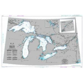
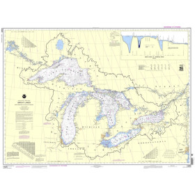
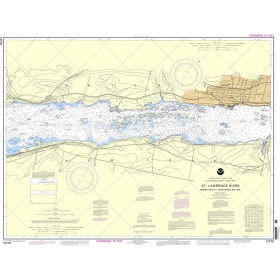
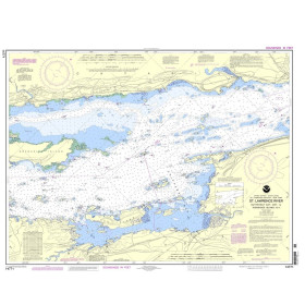
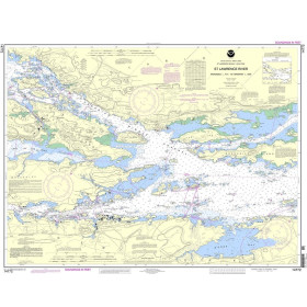
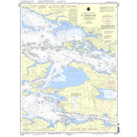
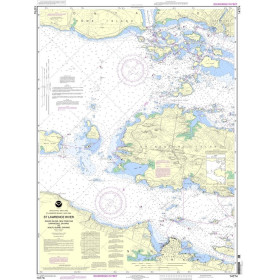
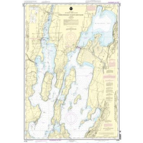
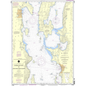
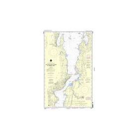
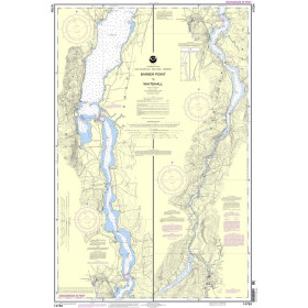
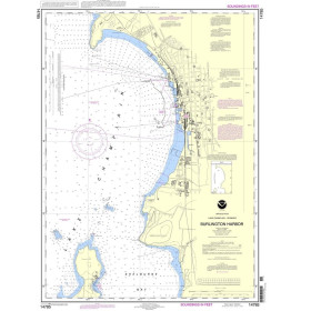
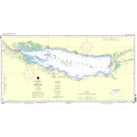
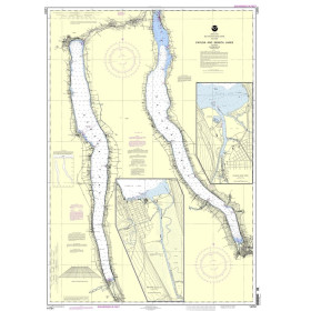
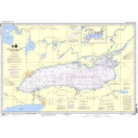
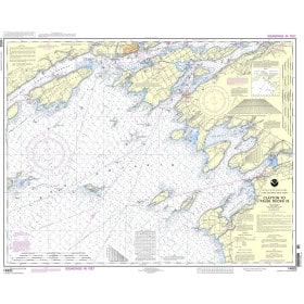
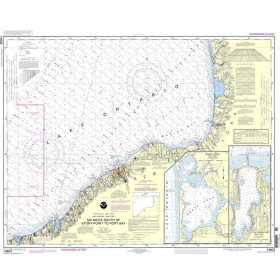
Nautical chart for the American Great Lakes
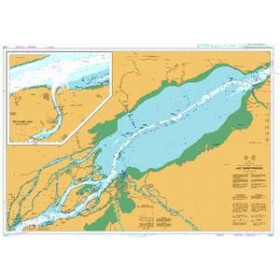
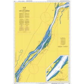
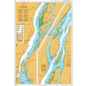
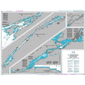
Are you looking for a paper nautical chart of the Great Lakes to plan a voyage on Lake Superior, Lake Michigan, Lake Huron, Lake Erie or Lake Ontario? This selection of nautical charts covers the main sailing areas between the United States and Canada, including approaches to the ports of Chicago, Milwaukee, Detroit, Cleveland, Buffalo, Toronto and Duluth. NOAA charts cover the U.S. waters of the Great Lakes, while charts from the Canadian Hydrographic Service complement coverage on the Canadian side. Admiralty charts can also be useful for certain international voyages. Whether you are planning a cruise on Lake Michigan, a crossing of Lake Superior, navigation on Lake Huron or a route towards the St. Lawrence River and the Atlantic Ocean, choose a paper nautical chart suited to your sailing area, itinerary and the scale required.

 Click here to open our interactive map and select your charts