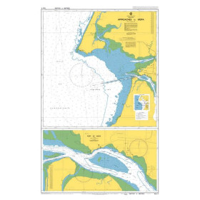
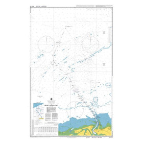
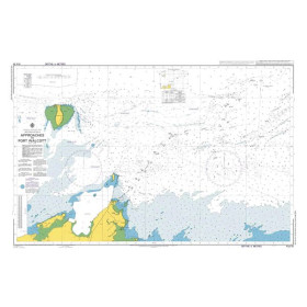
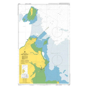
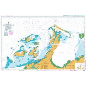
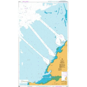
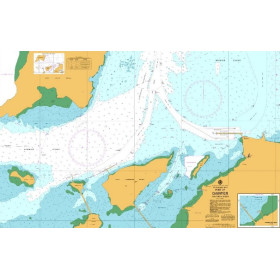
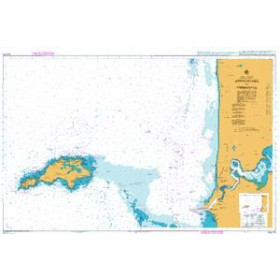
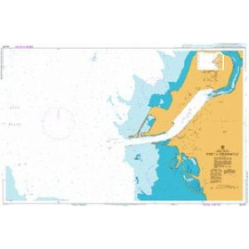
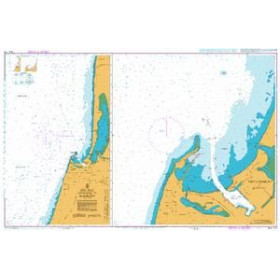
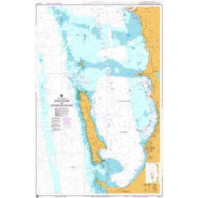
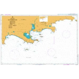
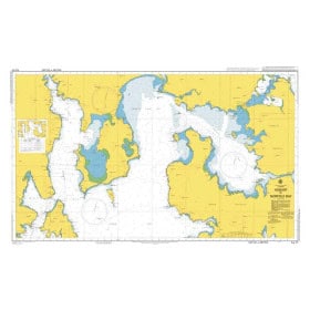
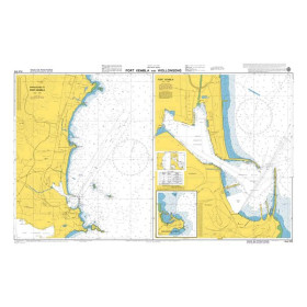
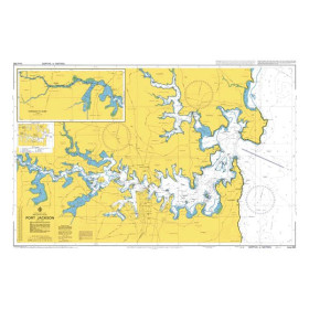
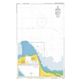
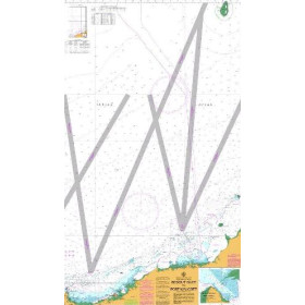
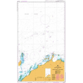
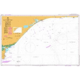
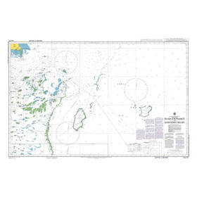
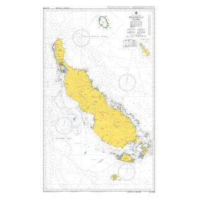
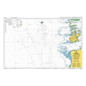
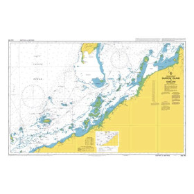
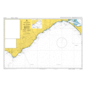
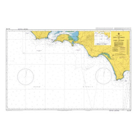
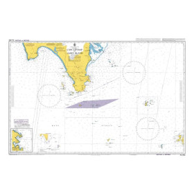
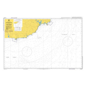
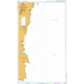
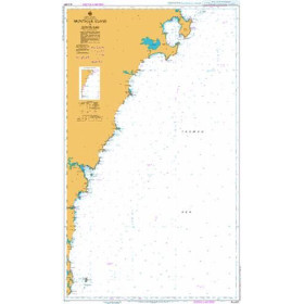
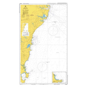
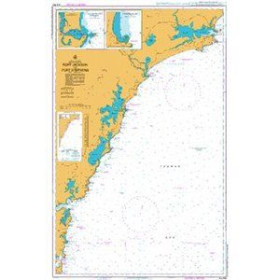
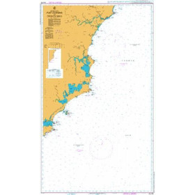
Australian Hydrographic Office nautical chart
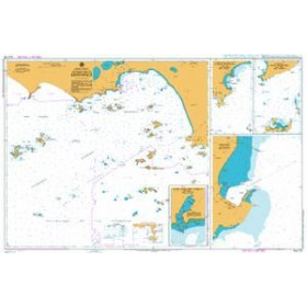
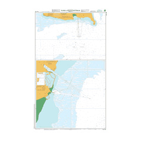
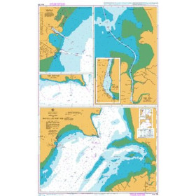
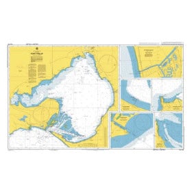
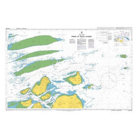
The nautical charts produced by the Australian Hydrographic Office (AHO), part of the Royal Australian Navy, cover more than 60,000 kilometres of coastline, including the Coral Sea, the Indian Ocean and the Tasman Sea. Nautic Way offers official nautical charts covering coastal, nearshore and offshore areas, including the approaches to Fremantle (AUS112), Port Jackson (AUS200) and the Prince of Wales Channel (AUS293). Each chart provides detailed information on depths in metres, aids to navigation—including lighthouses, lateral and cardinal marks—marine parks and environmentally sensitive areas, which are particularly important in complex regions such as the Great Barrier Reef. These charts are essential for leisure sailors, professional fleets—including commercial shipping, fishing and offshore operations—as well as navigation schools and long-distance sailors. They comply with International Hydrographic Organization (IHO) standards. The AHO is progressively shifting its production towards Electronic Navigational Charts (ENCs) while continuing to maintain paper charts as an essential safety backup.

 Click here to open our interactive map and select your charts