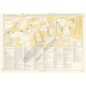
Mariner's routeing guides

Mariner’s Routeing Guide charts are specialized nautical documents designed to support the planning of offshore and transoceanic voyages. They provide a strategic overview of recommended routes, prevailing weather patterns, ocean currents, ice zones, high-traffic shipping lanes, and regulated areas. Used by professional mariners, ocean sailors, and maritime training institutions, these charts help improve safety, optimize routes, and anticipate oceanic conditions. Complementary to standard nautical charts, they focus on large-scale planning rather than coastal detail. Based on historical and seasonal data, they require experienced interpretation and do not replace real-time forecasts. Available from the Nautic Way Maritime Bookshop, Mariner’s Routeing Guide charts remain an essential reference for long-distance navigation, offering reliability, clarity, and independence from electronic navigation systems.

Filters (15 products)

2 - Choosing the navigation area

No choice available on this group

3 - Choosing the hydrographic service or publisher

4 - Choosing the chart format

5 - Choosing the scale

No choice available on this group

Vue carte
Vue liste
15 produits correspondent à vos critères.
Vue carte
Vue liste
15 produits correspondent à vos critères.
Loading...