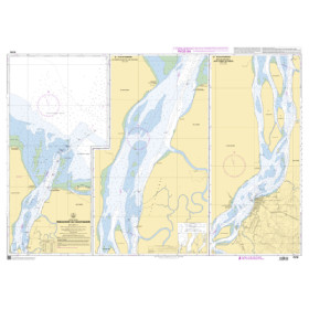
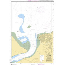
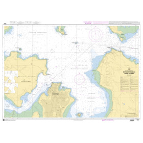
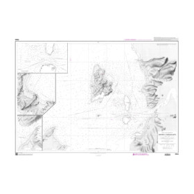
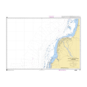
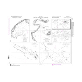
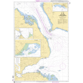
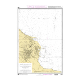
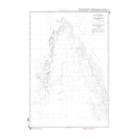
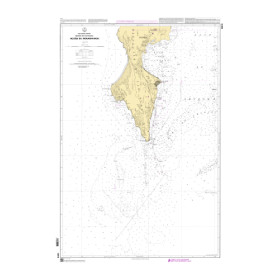
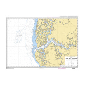
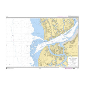
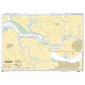
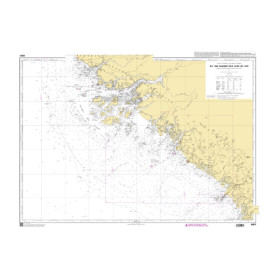
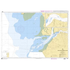
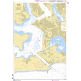
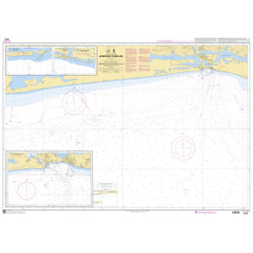
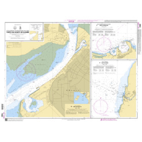
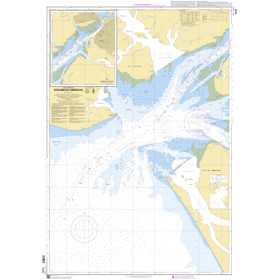
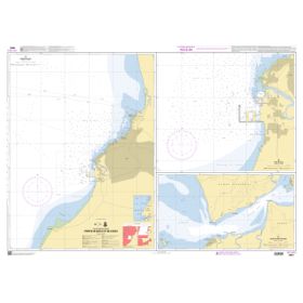
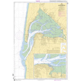
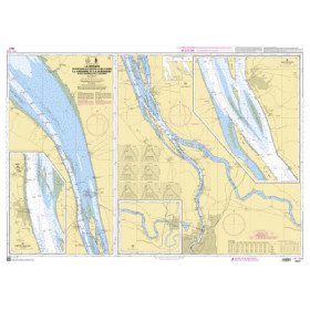
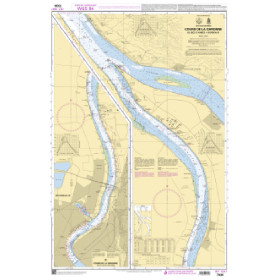
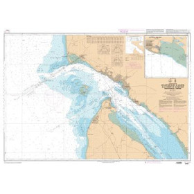
Shom River chart
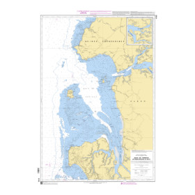
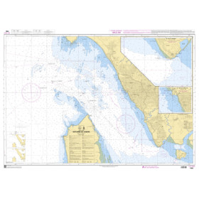
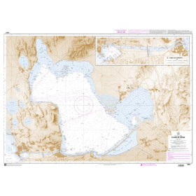
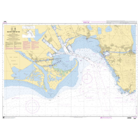
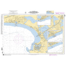
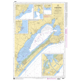
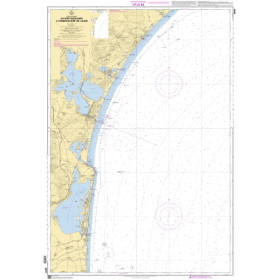
Shom inland waterway charts are hydrographic documents designed for navigation on French rivers, estuaries and inland waterways, with particular attention to port approaches and areas influenced by maritime navigation. They help navigators plan routes and identify channels, depths, buoyage, structures, bridges, ports and significant landmarks. They can be useful on waterways such as the Seine, Loire, Garonne, Gironde and Rhône, including approaches to ports such as Rouen, Nantes, Bordeaux, Le Havre and Marseille. A Shom inland waterway chart complements the information required for professional or recreational navigation and can be used alongside applicable regulations and inland waterway documentation. These charts are intended for navigators, recreational boaters, inland transport professionals, instructors and navigation schools seeking reliable French hydrographic documentation. Shom charts therefore provide an important reference for accurately planning inland, estuarine and port navigation in France.

 Click here to open our interactive map and select your charts