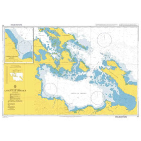
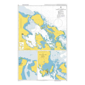
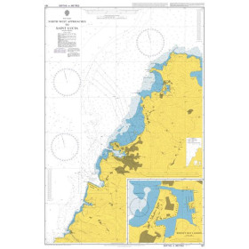
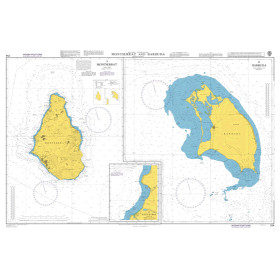
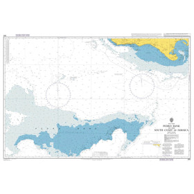
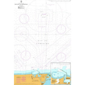
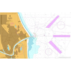
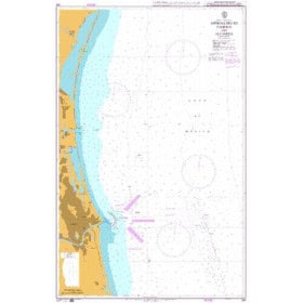
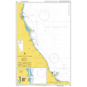
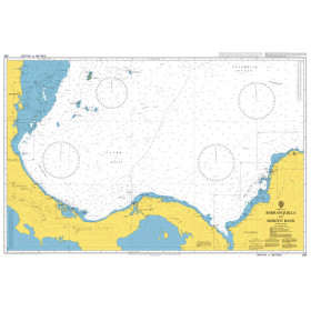
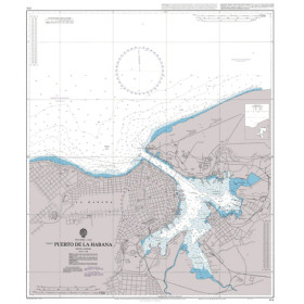
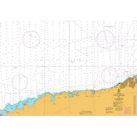
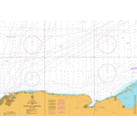
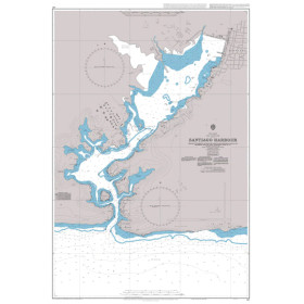
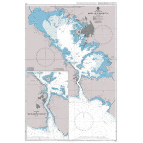
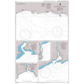
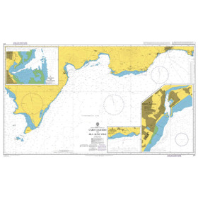
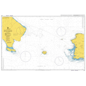
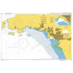
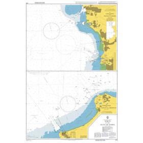
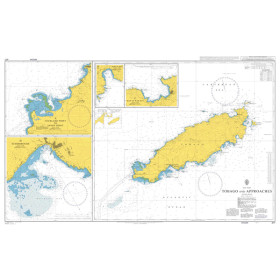
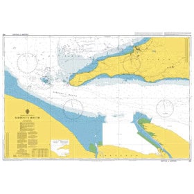
Admiralty nautical chart Caribbean sea, gulf of Mexico
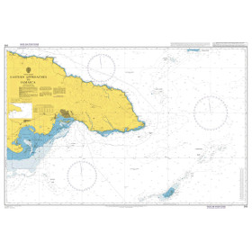
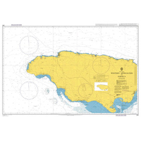
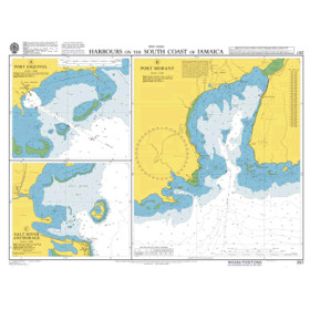
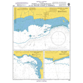
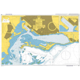
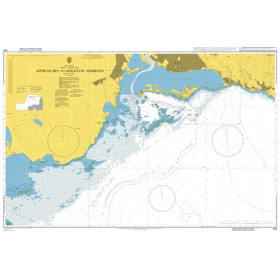
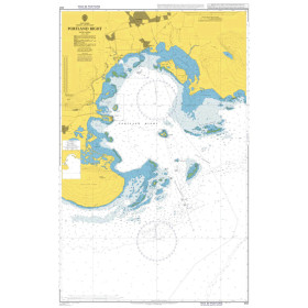
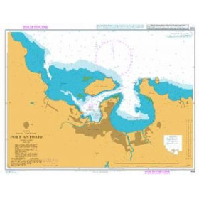
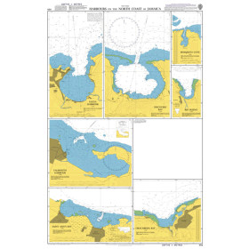
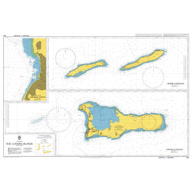
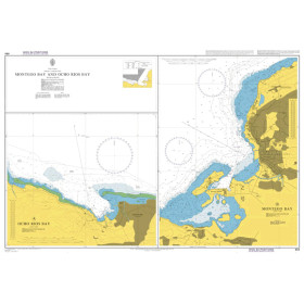
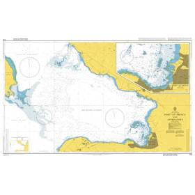
Admiralty nautical charts of the Caribbean Sea and Gulf of Mexico are designed to help plan and support coastal, offshore and passage navigation across this vast maritime area. Published by the UK Hydrographic Office (UKHO), they provide accurate nautical information on depths, soundings, hazards, lights, buoyage, navigational aids, ports, channels and regulated areas. Depending on the Admiralty chart selected, coverage includes the Caribbean islands, Cuba, Jamaica, Haiti, the Dominican Republic, the Bahamas, the coasts of Mexico and the United States bordering the Gulf of Mexico. Suitable for recreational boaters and professional mariners alike, these charts help plan routes, identify harbor approaches and maintain a reliable overview of the waters being navigated. Nautic Way offers Admiralty charts covering your chosen sailing area, with the latest available corrections supplied on request.

 Click here to open our interactive map and select your charts