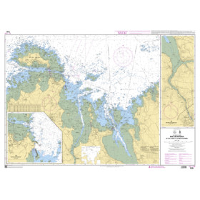
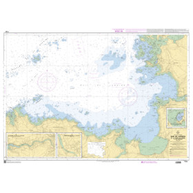
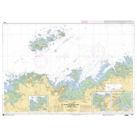
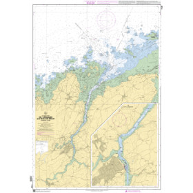
I am sailing in France – Atlantic
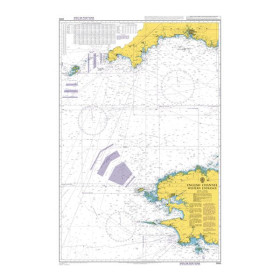
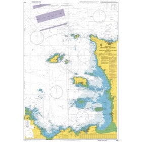
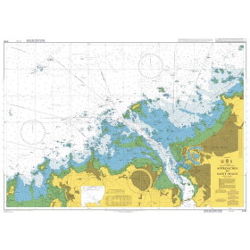
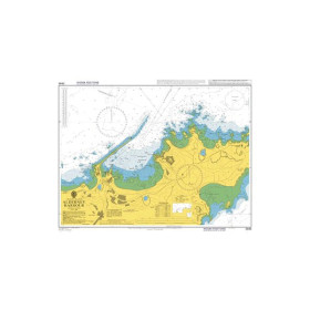
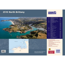
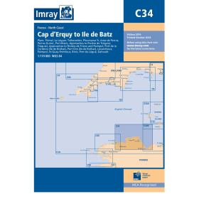
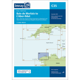
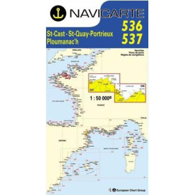
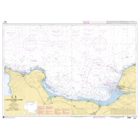
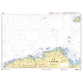
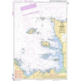
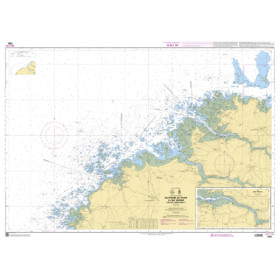
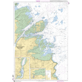
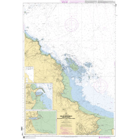
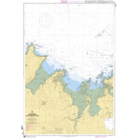
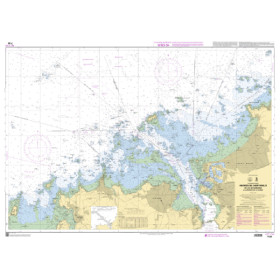
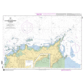
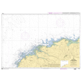
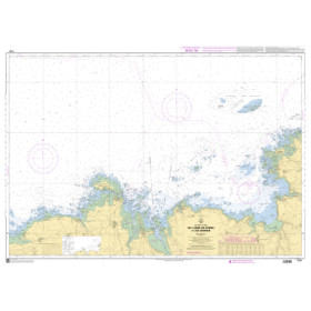
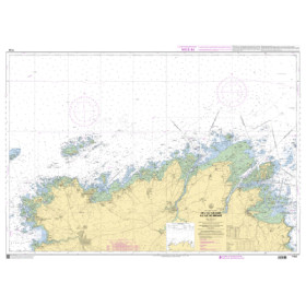
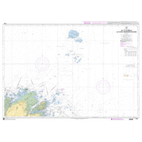
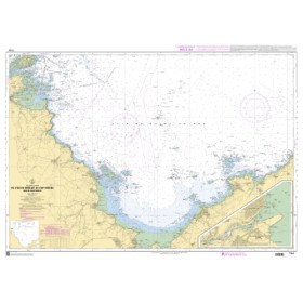
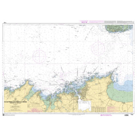
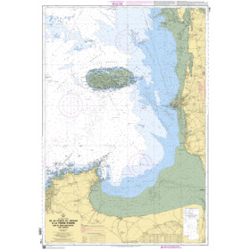
I Sail in France – Atlantic Ocean is the section dedicated to navigation planning along the French Atlantic coast, from southern Brittany and the Bay of Biscay to the Basque coast and the Spanish border. It covers navigation to Brest, Lorient, Concarneau, La Trinité-sur-Mer, Belle-Île, La Rochelle, Les Sables-d’Olonne, Royan, Arcachon, Bayonne and Saint-Jean-de-Luz. The Bay of Biscay, Atlantic Ocean, Ponant Islands, Brittany, Vendée, Charente-Maritime, Landes and French Basque Country have specific sailing conditions involving swell, winds, currents, tides, shoals and harbour approaches. Depending on the area, nautical charts may be produced by Shom, Admiralty, Imray or NV Charts. This section supports coastal, offshore and transatlantic navigation planning while taking into account the hydrographic characteristics and navigational conditions specific to each area.

 Click here to open our interactive map and select your charts