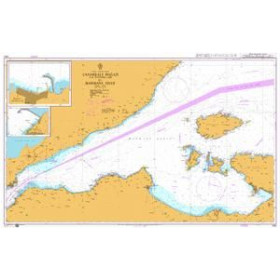
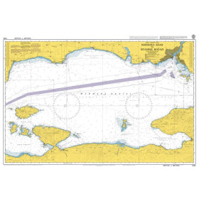
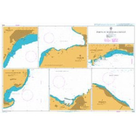
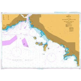
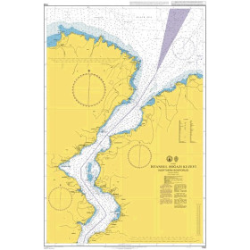
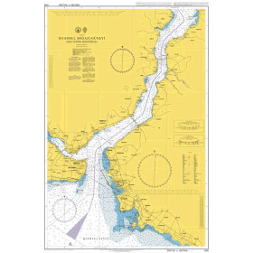
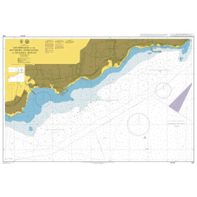
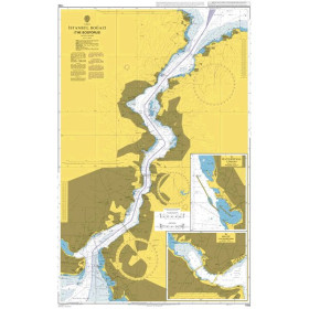
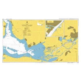
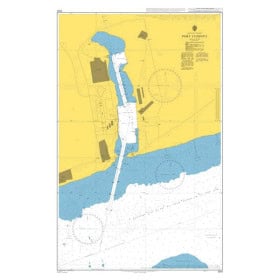
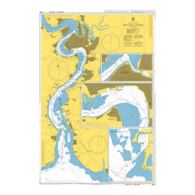
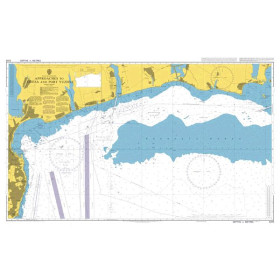
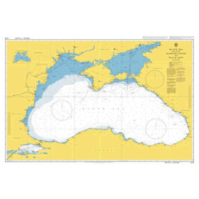
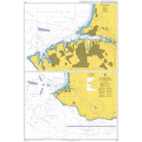
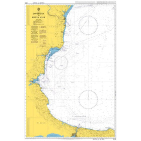
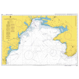
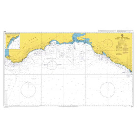
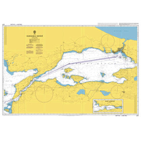
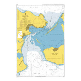
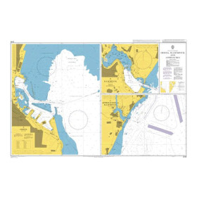
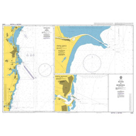
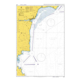
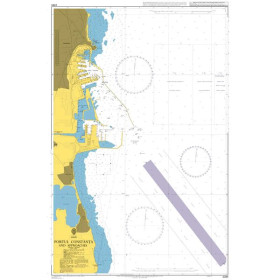
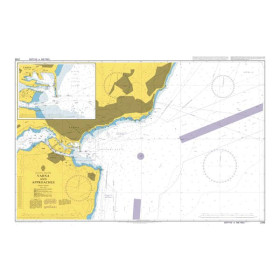
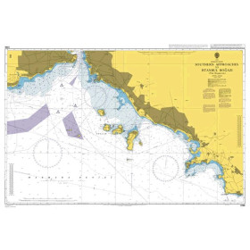
Nautical chart for the Black Sea and Marmara Sea
Are you looking for a paper nautical chart of the Black Sea and Sea of Marmara to plan a voyage between Southeastern Europe, Turkey and the eastern shores of the Black Sea? This selection covers the main sailing areas, including the coasts of Turkey, Bulgaria, Romania and Georgia, as well as the approaches to the Bosphorus and Dardanelles Straits. Explore the ports of Istanbul, Varna, Constanța, Burgas, Trabzon, Batumi and Samsun. Admiralty charts provide international coverage of the Black Sea, Sea of Marmara and Turkish Straits, while official charts from the Turkish, Bulgarian, Romanian and Georgian hydrographic services complement nautical documentation. Depending on your itinerary, Imray charts can also complement your voyage planning. Whether you are planning to navigate the Bosphorus, cross the Black Sea or follow a route towards the Aegean Sea and the Mediterranean, choose a paper nautical chart suited to your sailing area, itinerary and required scale.

 Click here to open our interactive map and select your charts