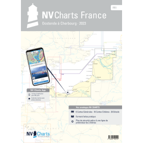
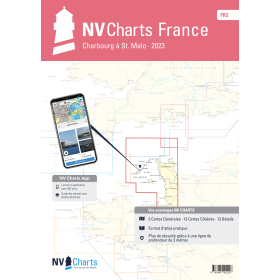
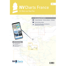
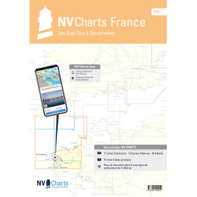
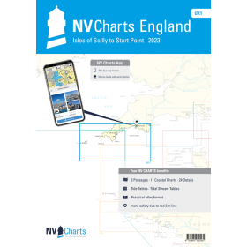
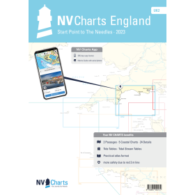
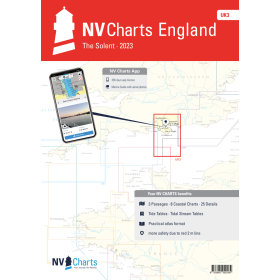
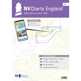
NV Charts nautical chart English Channel
The English Channel is one of the most demanding maritime crossroads in the world, where strong currents, a significant tidal range and dense commercial shipping traffic require highly accurate nautical documentation. NV Charts folios for the English Channel cover the entire area with four French references: FR 1 (Dunkirk to Cherbourg), FR 2 (Cherbourg to Saint-Malo), FR 3 (Saint-Malo to the Seven Islands), and FR 4 (Seven Islands to Douarnenez), together with a UK series covering the English coast from the Isles of Scilly to London. Each folio combines several scales in a single bound booklet, with colour-coded visual references and scale tabs, providing detailed information on bathymetry, aids to navigation, hazards, currents and harbour plans. The major strength of NV Charts is its hybrid approach: for the price of a paper chart, the package includes a downloadable digital version and the NV Charts App, which can be installed on up to 5 devices, with synchronisation every 15 minutes, as well as the Navigator Light software at no additional cost.

 Click here to open our interactive map and select your charts