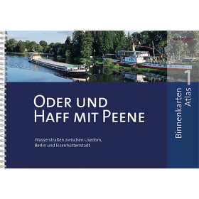
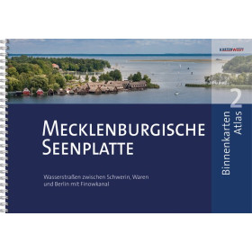
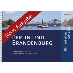
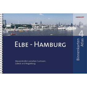
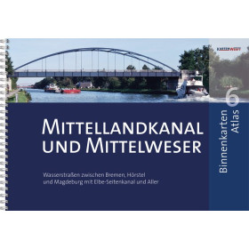
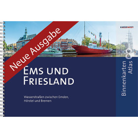
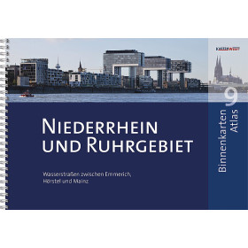
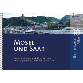
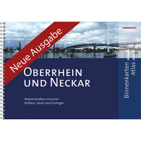
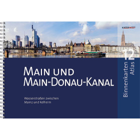
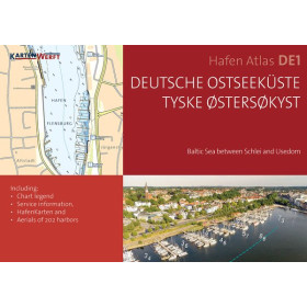
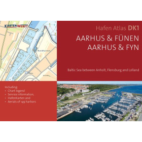
KartenWerft river chart
KartenWerft inland waterway charts are designed for planning and navigating rivers, canals and navigable waterways throughout Europe. This specialised cartography helps users identify navigable routes, locks, bridges, ports, marinas, stopping places, moorings and major waterways structures along an inland route. KartenWerft charts are particularly suitable for recreational inland navigation and for boaters looking for a clear representation of European waterways. They can be used when planning routes in Germany and across Central European inland waterway networks, including areas such as the Rhine, Danube, Elbe and Moselle. They are intended for leisure boaters, inland boat owners, crews and navigators preparing river cruises and canal voyages. Used together with inland navigation guides and local regulations, KartenWerft charts provide practical support for planning a route, locating key points along the waterway and anticipating the navigation constraints encountered on European rivers and canals.

 Click here to open our interactive map and select your charts