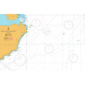
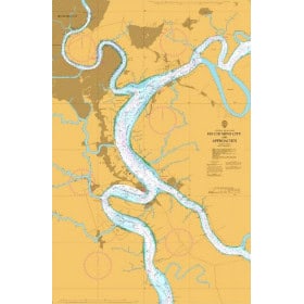
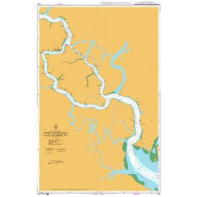
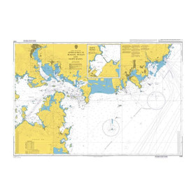
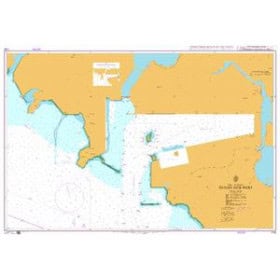
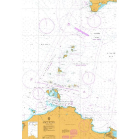
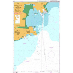
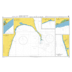
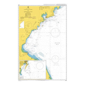
Nautical chart for the Philippine, Celebes, Java, Banda, Japan, Yellow, China, Gulf of Thailand seas
Are you looking for a paper nautical chart for sailing in East and Southeast Asia? This selection covers the Philippine Sea, Celebes Sea, Java Sea, Banda Sea, Sea of Japan, Yellow Sea, China Sea and Gulf of Thailand, with charts suitable for coastal and offshore navigation. Explore the approaches to the ports of Tokyo, Yokohama, Osaka, Busan, Shanghai, Hong Kong, Manila, Cebu, Jakarta, Surabaya, Singapore, Bangkok and Laem Chabang. Admiralty charts provide extensive international coverage of these areas, while official charts from the Japanese, Chinese, South Korean, Philippine, Indonesian and Thai hydrographic services complement nautical documentation. Imray charts can also be suitable for certain recreational sailing areas in Asia. Whether you are planning a Pacific crossing, sailing in the South China Sea, or an itinerary around Indonesia, Japan or the Philippines, choose a paper nautical chart suited to your sailing area, itinerary and required scale.

 Click here to open our interactive map and select your charts