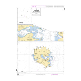
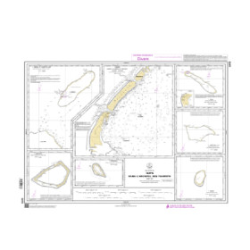
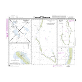
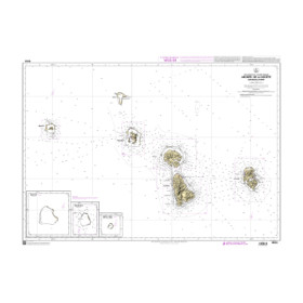
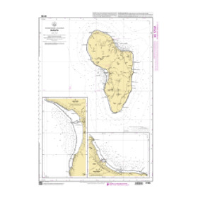
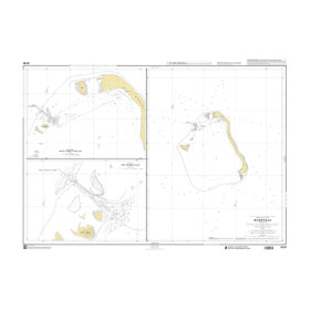
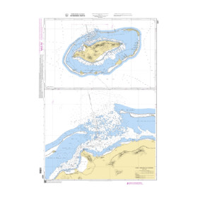
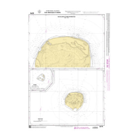
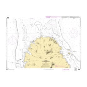
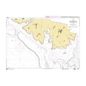
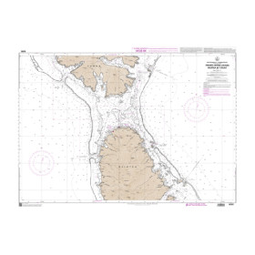
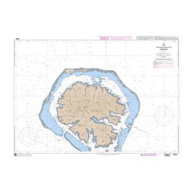
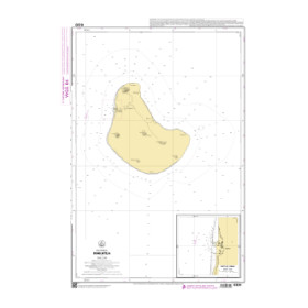
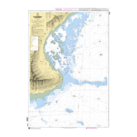
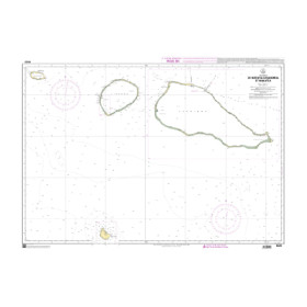
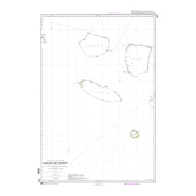
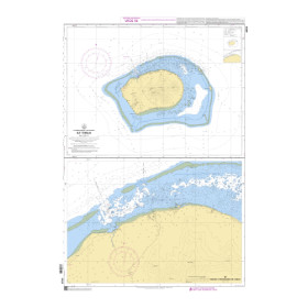
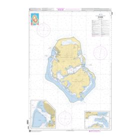
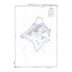
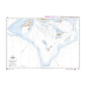
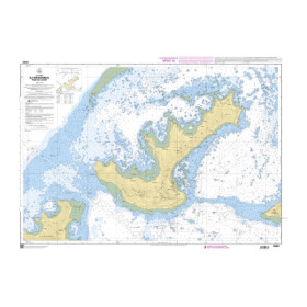
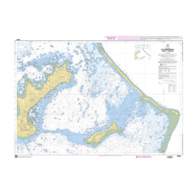
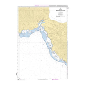
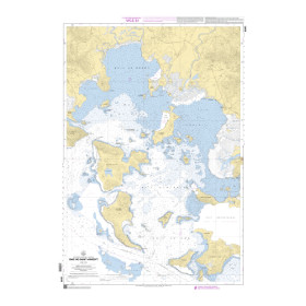
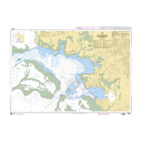
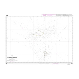
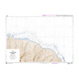
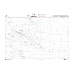
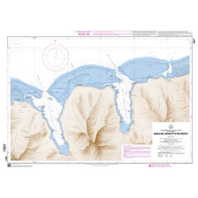
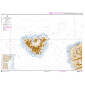
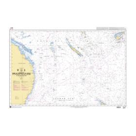
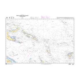
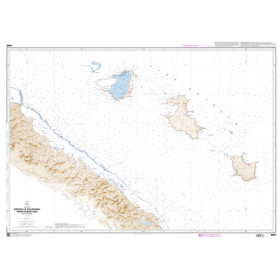
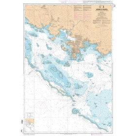
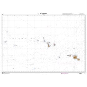
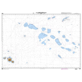
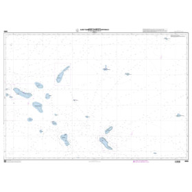
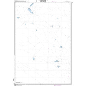
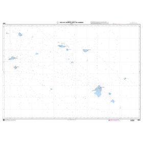
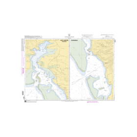
Nautical chart for the Pacific Ocean
Are you looking for a paper nautical chart of the Pacific Ocean to plan a crossing, offshore voyage or round-the-world cruise? This selection covers the main sailing areas of the North and South Pacific, between Asia, Oceania and the American coasts, with charts suitable for long-distance passages and coastal navigation. Explore the approaches to the ports of Tokyo, Yokohama, Honolulu, Vancouver, Los Angeles, San Francisco, Panama City, Auckland, Sydney, Nouméa, Papeete and Suva. Admiralty charts provide extensive international coverage of the Pacific Ocean, while Imray charts complement nautical charting for many recreational sailing destinations in Polynesia, Melanesia and Oceania. Official charts from NOAA, SHOM and national hydrographic offices can also provide coverage for different sailing areas. Whether you are planning a Pacific crossing, sailing towards French Polynesia, New Caledonia, New Zealand or Japan, choose a Pacific Ocean nautical chart suited to your itinerary, sailing area and required scale.

 Click here to open our interactive map and select your charts