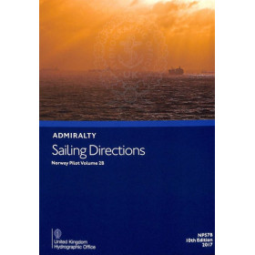
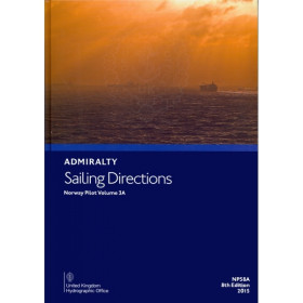
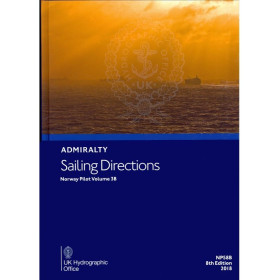
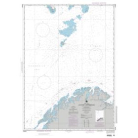
I am sailing in Norway
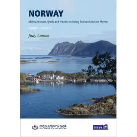
The category “I navigate in Norway” brings together nautical charts, cruising guides and essential documents for planning navigation along the Norwegian coast, from the North Sea to the Norwegian Sea and as far as the Barents Sea. It covers the fjords of western Norway, the Lofoten Islands, Vesterålen, the North Cape and the Arctic regions in the north. Find nautical charts covering Oslo, Bergen, Stavanger, Ålesund, Trondheim, Bodø, Tromsø, Hammerfest and Kirkenes, as well as approaches to the main fjords, archipelagos and ports. Whether you are planning a cruise, coastal navigation or an expedition in Norway, Nautic Way offers charts and guides from publishers and brands including Imray, Admiralty, NV Charts, Navionics and Kartverket. These documents provide detailed information on depths, channels, reefs, shoals, tides, buoyage, ports, anchorages and navigational hazards, essential for planning safe and accurate navigation through the Norwegian fjords and Arctic waters.

 Click here to open our interactive map and select your charts