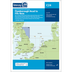
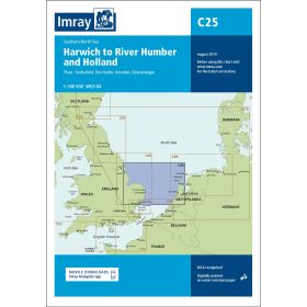
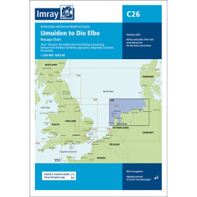
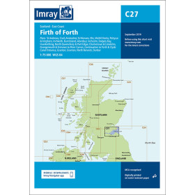
Imray nautical chart North sea
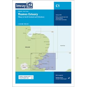
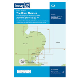
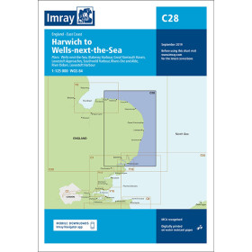
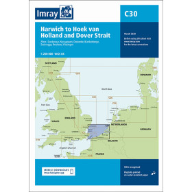
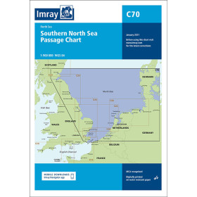
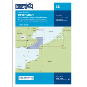
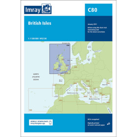
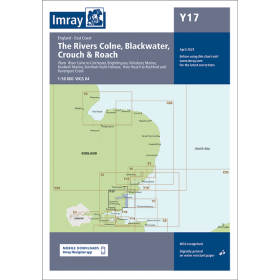
The North Sea is one of the world’s busiest and most demanding maritime crossroads, characterised by strong currents, heavy commercial traffic and shifting sandbanks. Nautic Way, an authorised Imray agent, offers charts (C and Y series) covering the entire area: passage charts for strategic planning (C80 British Isles, C70 Southern North Sea Passage), coastal charts for passages between the English coast and the European mainland (C25 Harwich–Humber–Netherlands, C30 Harwich–Hoek van Holland), harbour plans for complex areas (C27 Firth of Forth, C2 Thames), and river and estuary charts from the Y series for areas such as the Medway (Y18), The Wash (Y9), or the Colne and Blackwater rivers (Y17). Each chart includes waypoints, GPS coordinates, Traffic Separation Schemes (TSS), and seabed sediment information, with standardised symbols that make them easy to read both day and night. The frequent movement of sandbanks in the North Sea makes using up-to-date editions essential.

 Click here to open our interactive map and select your charts