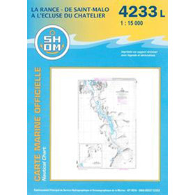
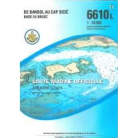
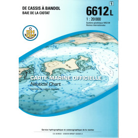
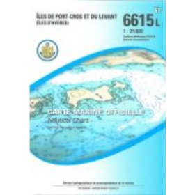
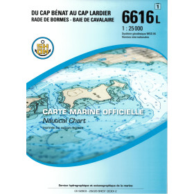
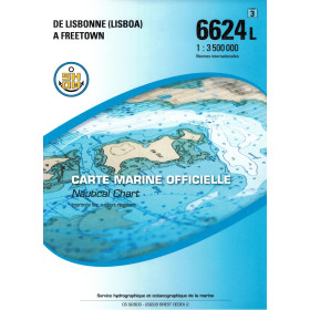
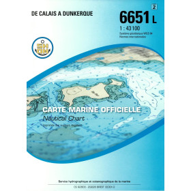
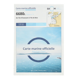
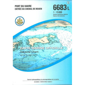
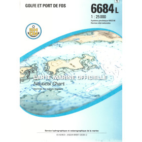
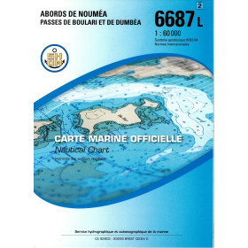
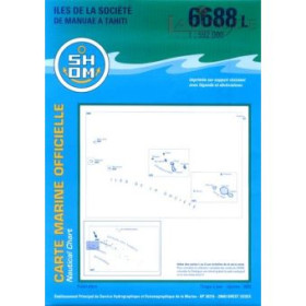
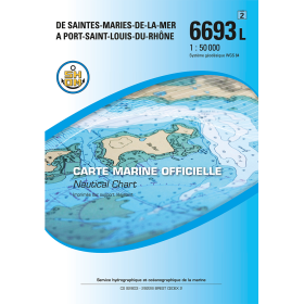
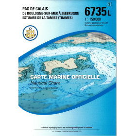
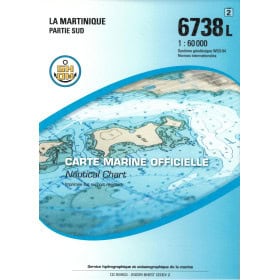
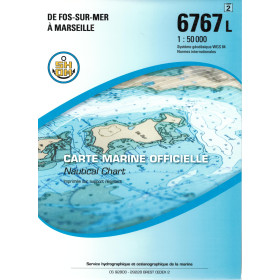
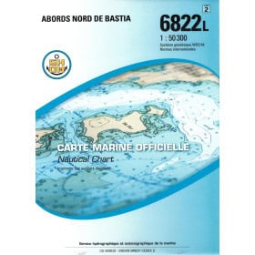
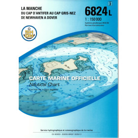
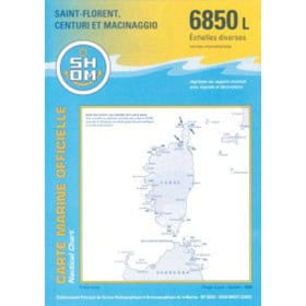
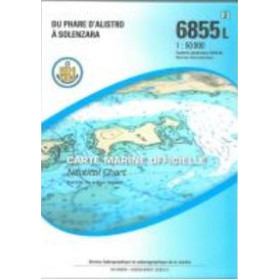
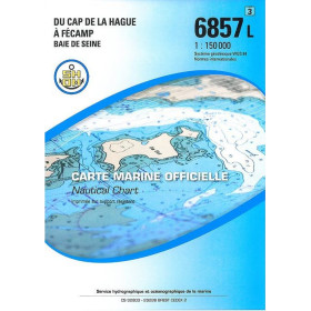
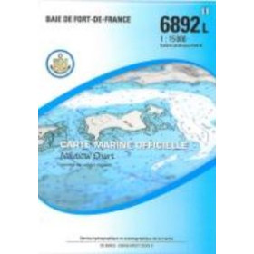
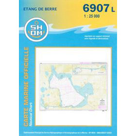
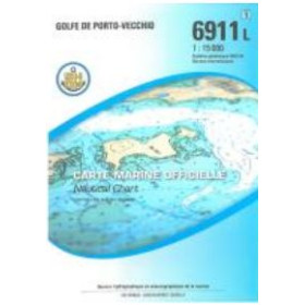
Shom L nautical chart (folded chart)
Shom L nautical charts, supplied as folded paper charts, are a practical solution for recreational sailing, professional fishing and offshore passages. Folded to A4 size, they are easy to store on board and unfold to provide essential nautical information at a glance. They cover the English Channel, Atlantic Ocean, Mediterranean Sea, North Sea, Caribbean Sea and French overseas territories. Discover Shom L nautical charts for planning voyages from Brest, Cherbourg, Saint-Malo, La Rochelle, Bordeaux, Marseille, Toulon, Ajaccio or Fort-de-France. Available at various scales, they show water depths, navigational hazards, channels, anchorages and harbour approaches. Nautic Way Maritime Bookstore, an authorised Shom distributor, offers up-to-date folded paper nautical charts, complemented by Admiralty, Imray and NV Charts, as well as sailing directions and lists of lights to support safe coastal and ocean navigation.

 Click here to open our interactive map and select your charts