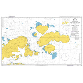
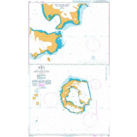
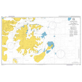
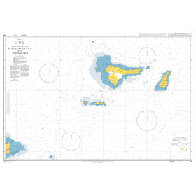
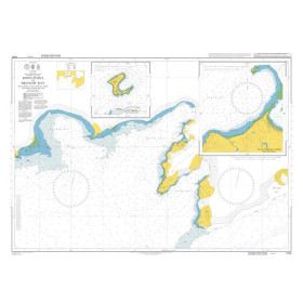
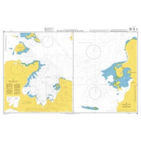
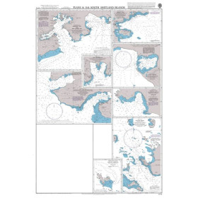
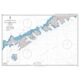
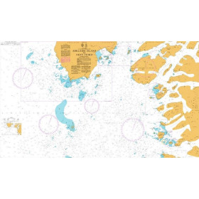
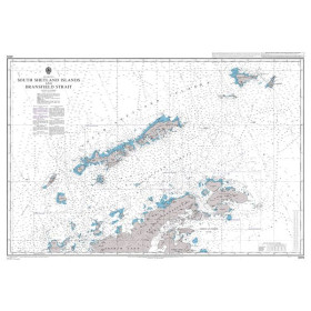
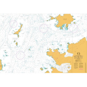
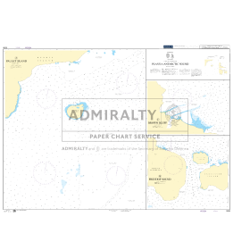
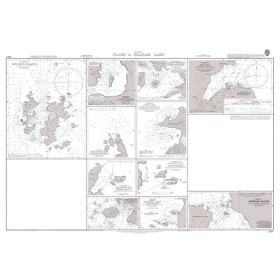
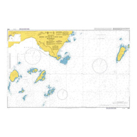
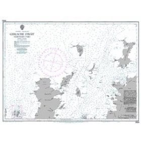
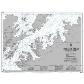
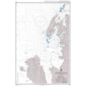
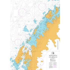
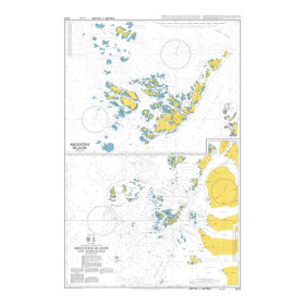
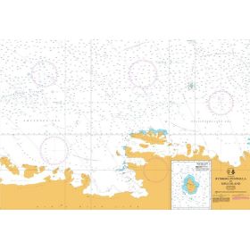
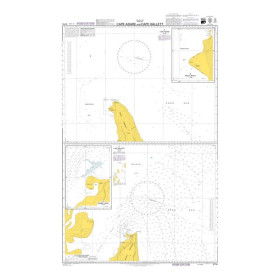
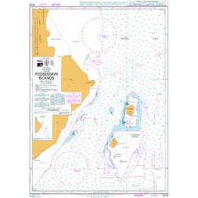
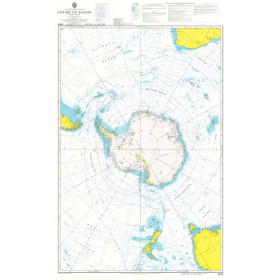
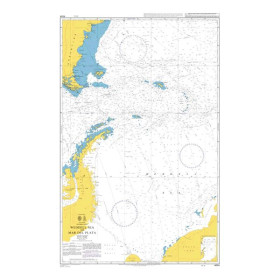
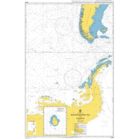
Admiralty nautical chart Antarctic Ocean
The Admiralty Antarctic Ocean nautical chart is designed for planning polar navigation, ocean passages and exploration projects around the Antarctic continent. Published by the United Kingdom Hydrographic Office (UKHO), Admiralty charting provides an overview of the vast maritime areas of the Southern Ocean, the coast of Antarctica, sub-Antarctic islands and the main navigation routes. It is a useful resource for planning an expedition towards the Antarctic Peninsula, the South Shetland Islands or different areas of the Southern Ocean, before selecting the larger-scale nautical charts required for coastal navigation. An Admiralty Antarctic Ocean chart also helps sailors plan a polar route and complement information from nautical publications, sea-ice data and electronic navigation systems. It is suitable for professional mariners, expedition teams, circumnavigators and navigation schools.

 Click here to open our interactive map and select your charts