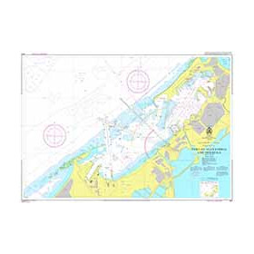
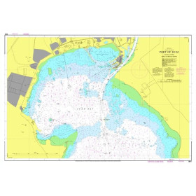
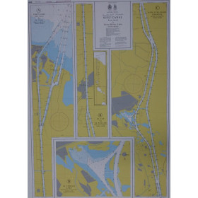
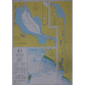
Egyptian Navy Hydrographic Departement nautical chart
The Egyptian Navy Hydrographic Department (ENHD) publishes the official reference nautical charts for the eastern Mediterranean, the Red Sea and the Suez Canal, a strategic hub of global maritime trade where heavy traffic and coral reefs require the highest levels of accuracy. The Suez Canal charts (SC1, SC2 and R11) are mandatory for all transits and must be dated after 6 August 2015 to comply with inspections by the Egyptian Navy. Each chart provides detailed information on depths in metres, fringing reefs and barrier reefs, particularly in the Red Sea, aids to navigation, and military and port regulatory areas, in accordance with International Hydrographic Organization (IHO) standards. These charts are essential for professional mariners, masters transiting the Suez Canal, experienced leisure sailors navigating the eastern Mediterranean, and maritime training centres. They are regularly updated through ENHD Notices to Mariners.

 Click here to open our interactive map and select your charts