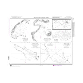
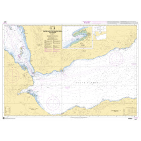
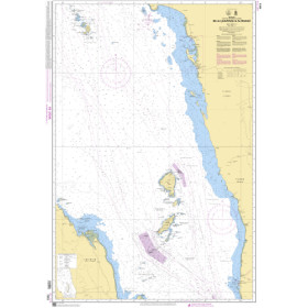
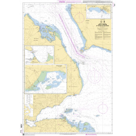
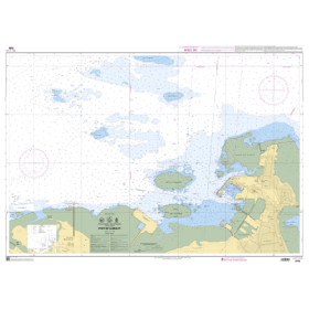
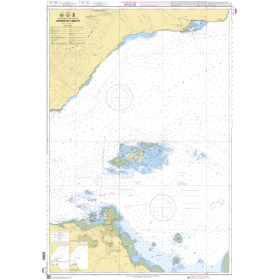
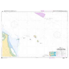
Shom C nautical chart gulfs of Suez, Aden, Persian, Oman, Red and Arabian Seas
The Shom C Suez, Gulf of Aden, Persian Gulf, Gulf of Oman, Red Sea and Arabian Sea nautical chart is a rolled paper marine chart designed for sailors planning offshore passages and ocean navigation between the Mediterranean Sea, the Indian Ocean and the Middle East. It covers the Red Sea, Gulf of Suez, Gulf of Aden, Gulf of Oman, Persian Gulf and Arabian Sea, all strategic areas for international maritime routes. It can be used to locate ports such as Suez, Jeddah, Aden, Salalah, Muscat, Dubai, Abu Dhabi, Doha and Karachi. This Shom nautical chart complements detailed Shom nautical charts and publications, as well as Admiralty, Imray and NV Charts cartography depending on the areas covered. Nautic Way offers this rolled Shom C nautical chart to recreational sailors, offshore navigators, maritime professionals, sailing schools and marine cartography enthusiasts planning navigation between the Mediterranean Sea, Red Sea and Indian Ocean.

 Click here to open our interactive map and select your charts