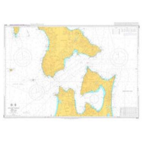
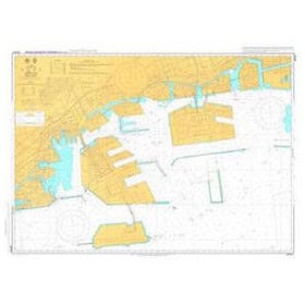
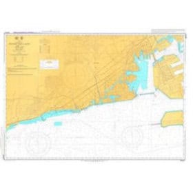
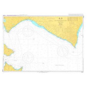
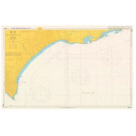
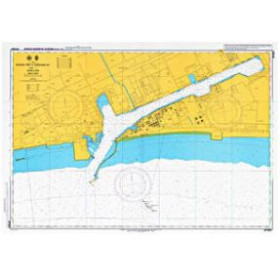
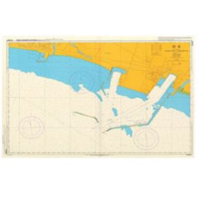
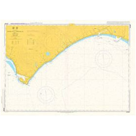
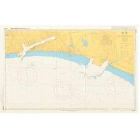
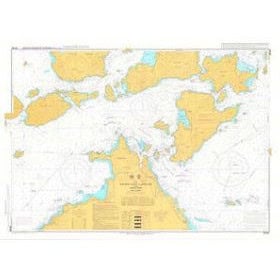
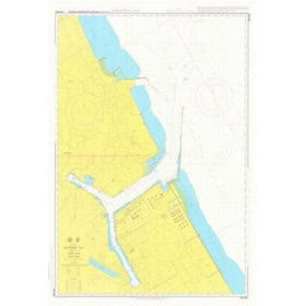
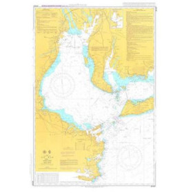
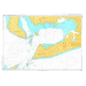
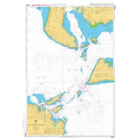
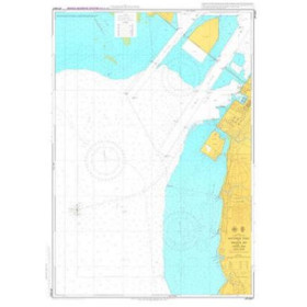
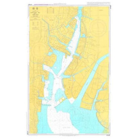
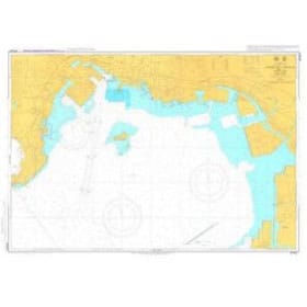
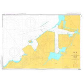
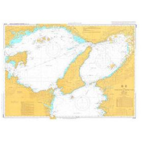
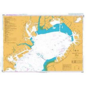
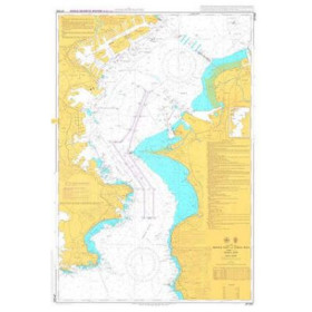
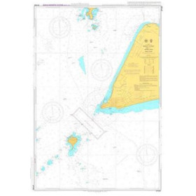
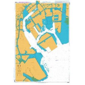
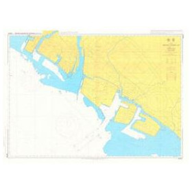
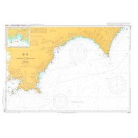
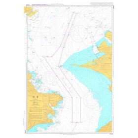
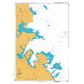
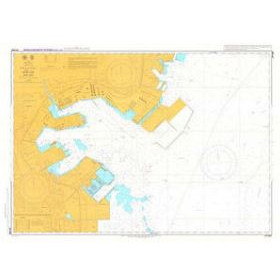
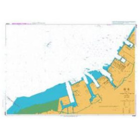
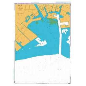
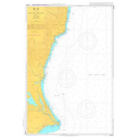
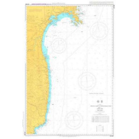
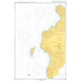
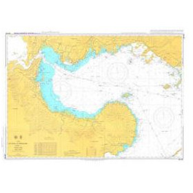
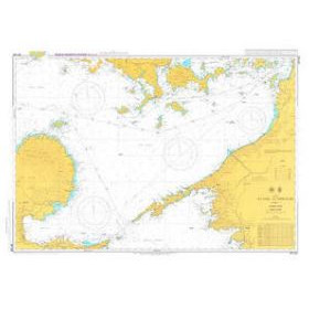
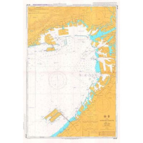
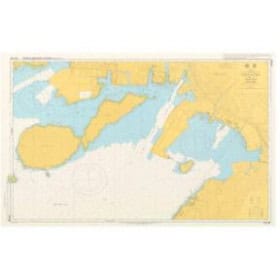
Hydrographic and Oceanographic Départment - Japan Coast Guard nautical chart
Japan has an extensive and highly complex maritime domain, with more than 29,000 kilometres of coastline shaped by significant seismic and volcanic activity that influences the morphology of the seabed. The charts produced by the Hydrographic and Oceanographic Department (JHOD), under the authority of the Japan Coast Guard, provide the official reference for these waters. Nautic Way offers charts covering coastal and nearshore areas, including JP1065 for Tokyo and JP1061 for the northern part of Tokyo Wan. Each chart provides detailed information on depths in metres, aids to navigation, shoals, rocks, wrecks, submarine volcanic areas and regulated areas, including traffic separation schemes and military zones, in accordance with International Hydrographic Organization (IHO) standards. These charts are essential for professional mariners dealing with powerful currents such as the Kuroshio and heavy maritime traffic, as well as offshore fishermen and experienced leisure sailors. Users should be aware that the charts may present a language barrier, as many annotations are in Japanese.