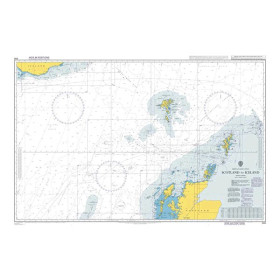
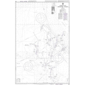
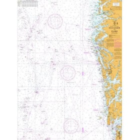
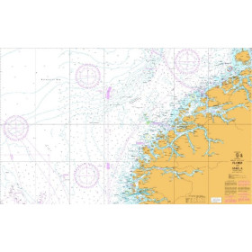
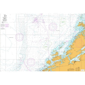
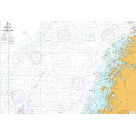
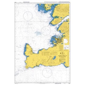
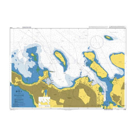
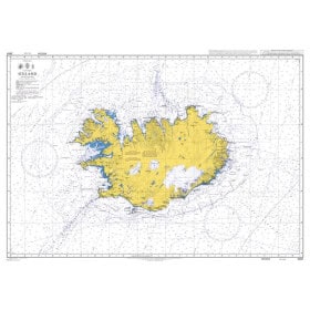
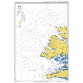
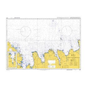
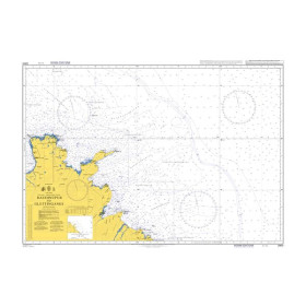
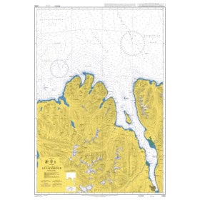
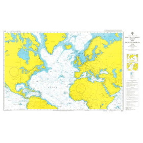
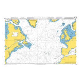
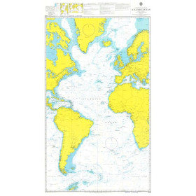
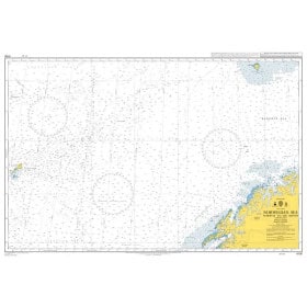
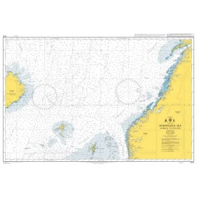
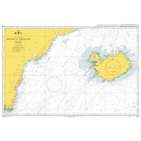
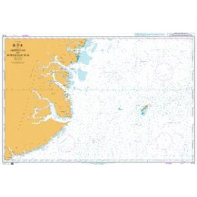
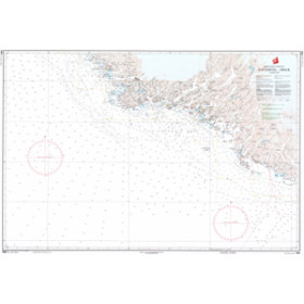
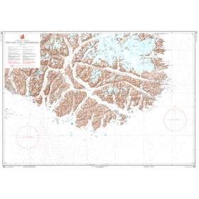
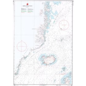
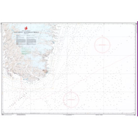
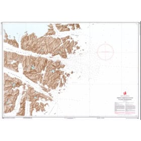
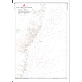
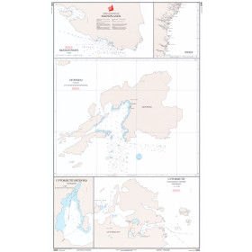
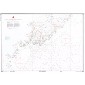
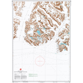
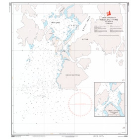
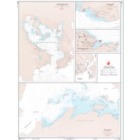
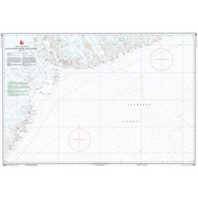
Nautical chart for the Norwegian and Greenland Seas
Are you looking for a paper nautical chart of the Norwegian and Greenland Seas to plan a voyage in the North Atlantic and Arctic regions? This selection covers the main maritime areas between Norway, Iceland, Greenland and the Faroe Islands, with charts suitable for coastal and offshore navigation. Explore the approaches to the ports of Bergen, Tromsø, Trondheim, Reykjavik, Tórshavn, Nuuk, Sisimiut and Ilulissat, as well as the routes connecting the Norwegian Sea, Greenland Sea, Labrador Sea and North Atlantic Ocean. Admiralty charts provide international coverage of these regions, while official charts from the Norwegian Hydrographic Service and the Danish Geodata Agency complement nautical documentation. Imray charts can also be useful for certain recreational sailing areas. Whether you are planning a passage to Iceland, Greenland or Norway, an Arctic voyage or a route towards Svalbard, choose a paper nautical chart suited to your sailing area, itinerary and required scale.

 Click here to open our interactive map and select your charts