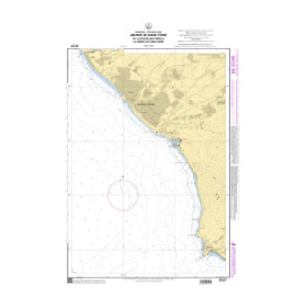
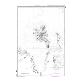
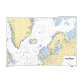
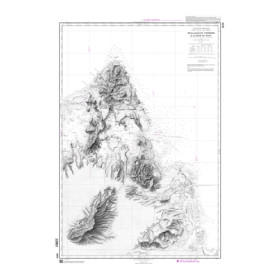
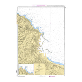
I am looking for a digital Shom nautical chart in GeoTIFF raster format.
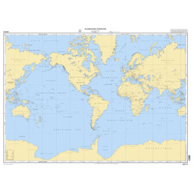
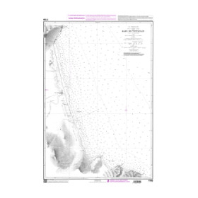
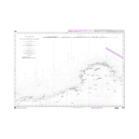
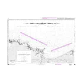
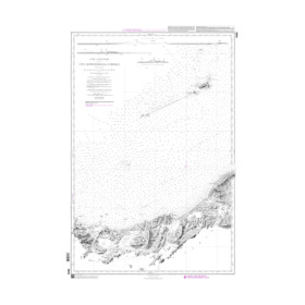
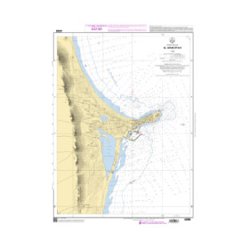
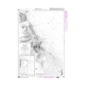
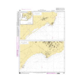
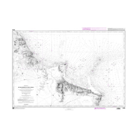
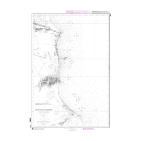
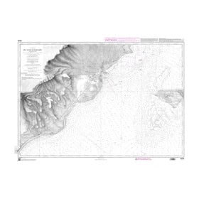
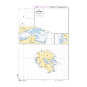
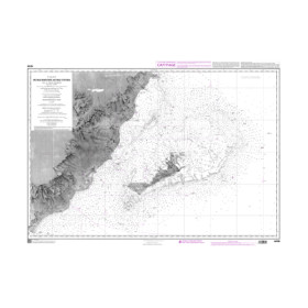
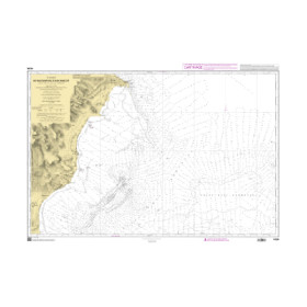
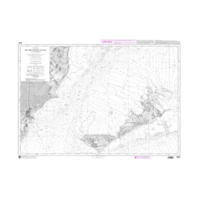
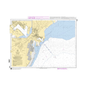
Are you looking for a SHOM digital raster GeoTIFF marine chart for your navigation software? SHOM digital marine charts in GeoTIFF format faithfully reproduce official paper charts published by the French Hydrographic and Oceanographic Service, including soundings, depths, depth contours, landmarks, lights, buoys, hazards, wrecks and other nautical information. The GeoTIFF raster format combines the chart image with georeferencing data, allowing it to be accurately positioned within compatible navigation software. A SHOM GeoTIFF chart can be used with navigation and electronic charting software such as Adrena or ScanNav, subject to compatibility with the specific file. When choosing the right digital SHOM marine chart, it is essential to check the SHOM chart reference, navigation area, scale, coordinate system, resolution and the conditions of use associated with the digital file. A SHOM GeoTIFF raster chart is therefore a suitable digital solution for navigation and route planning.

 Click here to open our interactive map and select your charts