I am looking for a GeoTIFF raster nautical chart
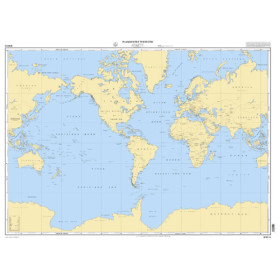
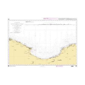
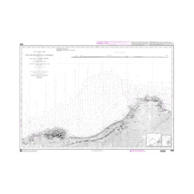
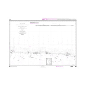
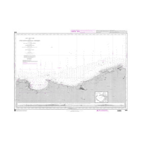
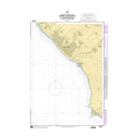
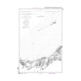
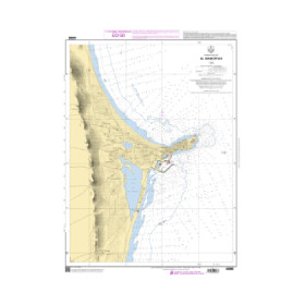
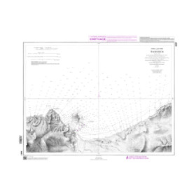
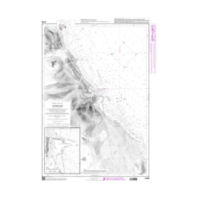
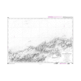
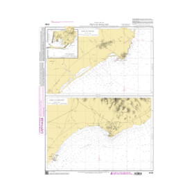
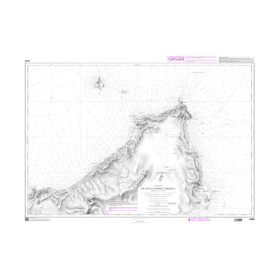
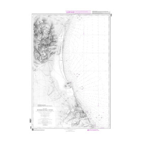
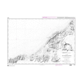
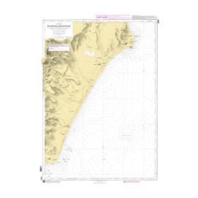
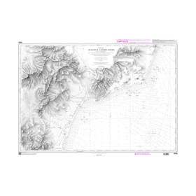
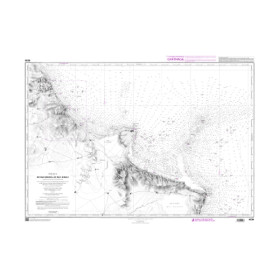
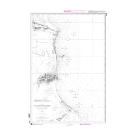
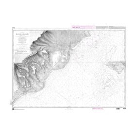
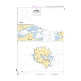
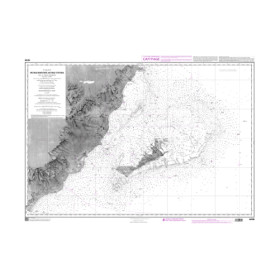
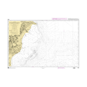
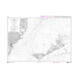
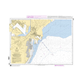
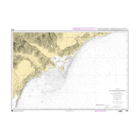
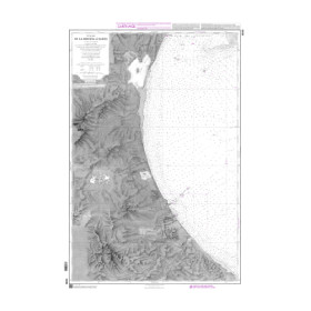
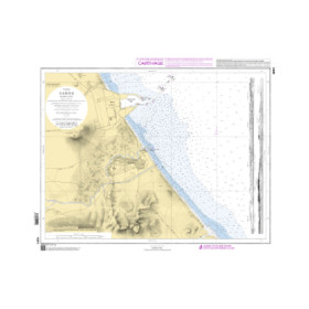
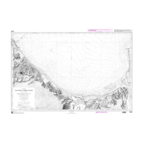
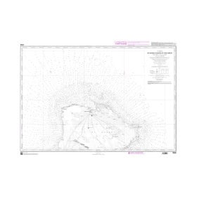
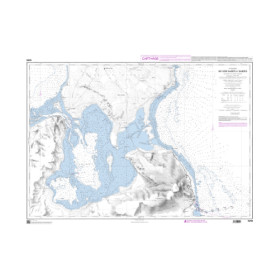
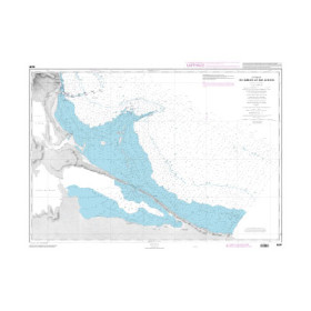
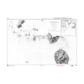
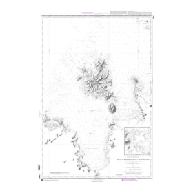
A GeoTIFF raster marine chart is a digital nautical chart designed for compatible navigation software, electronic charting systems and professional applications. Unlike a vector chart, a raster chart digitally reproduces the appearance of a paper chart, including its symbols, soundings, depths, contours, navigation aids and other hydrographic information. The GeoTIFF format combines the chart image with geographical information that allows it to be accurately positioned within a navigation system. GeoTIFF raster marine charts can be used with software such as Adrena, ScanNav and other compatible solutions, depending on the file specifications and software requirements. They may be supplied by hydrographic offices or specialist chart publishers, such as SHOM or Admiralty, depending on the geographical area covered. Before choosing a GeoTIFF raster chart, it is essential to check the geographical area, chart reference, coordinate system, resolution, software used and the licensing conditions associated with the digital file.

 Click here to open our interactive map and select your charts