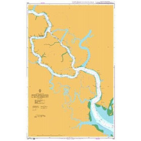
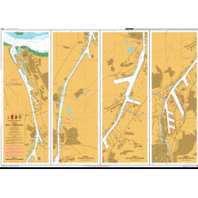
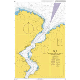
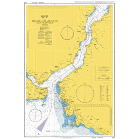
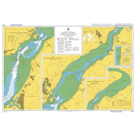
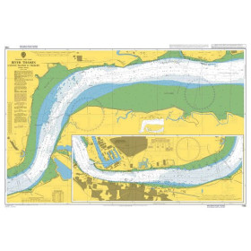
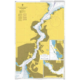
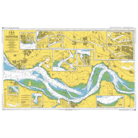
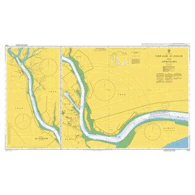
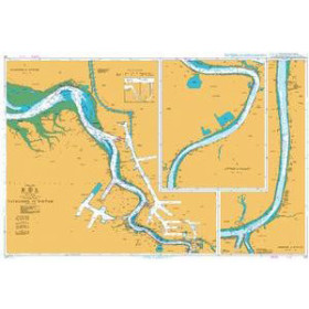
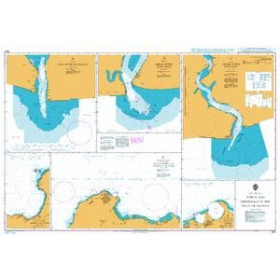
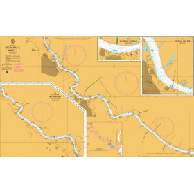
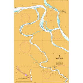
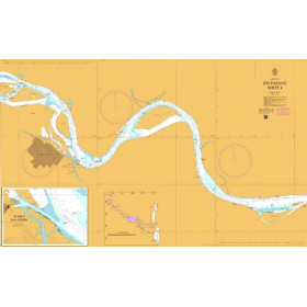
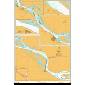
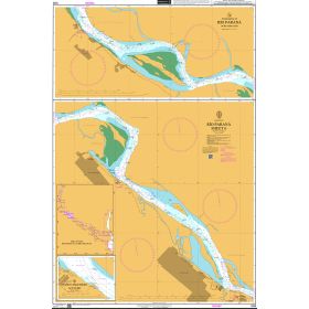
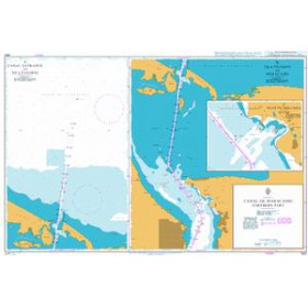
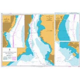
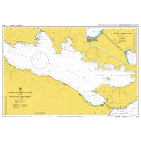
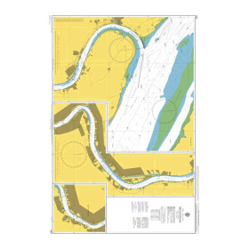
I am looking for a map or a book for river navigation
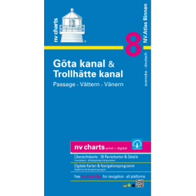
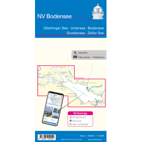
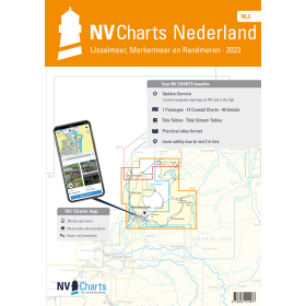
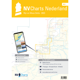
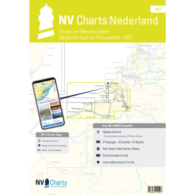
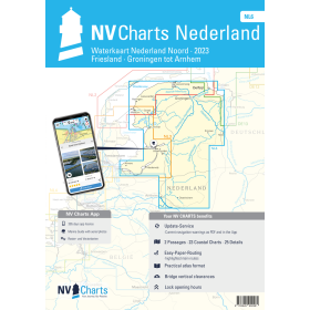
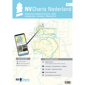
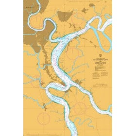
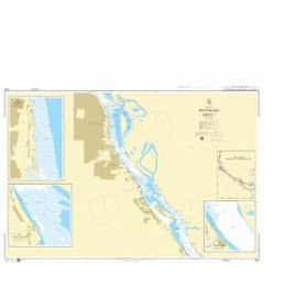
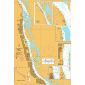
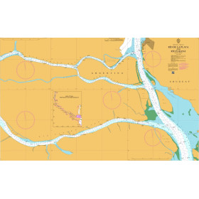
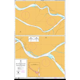
Are you looking for an inland waterway chart, an inland navigation guide or a specialised book to plan a voyage on rivers, canals and navigable waterways? Inland navigation requires documentation adapted to waterways, locks, draught restrictions, bridge clearances, buoyage systems and local regulations. Such documentation can be used for navigation on the Seine, Loire, Rhône, Saône, Garonne and Rhine, as well as on French and European canal networks, including waterways around Paris, Lyon, Strasbourg, Nantes and Bordeaux. Inland waterway charts and guides help identify ports, locks, bridges, navigation areas, mooring places and key points along a route. Depending on the navigation area, specialist publications can complement available cartographic information. They are suitable for inland-waterway leisure boaters, professional crews, navigation schools and travellers planning a route on French or European rivers and canals.

 Click here to open our interactive map and select your charts