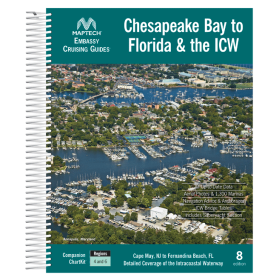
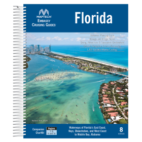
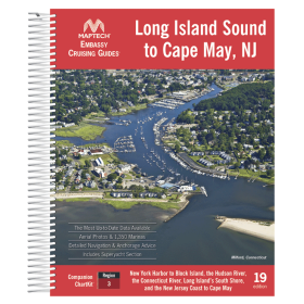
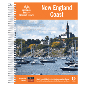
Maptech Guide
The Maptech guide is nautical documentation designed for sailors and navigators who want to plan their routes, cruises and stopovers using practical information. Maptech publications are particularly associated with sailing areas in the United States and North America, the North Atlantic and certain coastal regions. They can support navigation along the U.S. East Coast, New England, Florida, the Gulf of Mexico and routes towards the Caribbean, with ports such as New York, Boston, Miami, Charleston, New Orleans and Key West. For comprehensive route planning, a Maptech guide can complement paper and digital nautical charts from Shom, Admiralty, Imray or NOAA, depending on the sailing area and the navigator’s requirements. These nautical guides are useful for planning coastal navigation, identifying ports and anchorages, studying approaches and organizing stopovers during a sailing or motor cruise.
Clarify the translation’s target languageMake the Maptech description more concise

 Click here to open our interactive map and select your charts