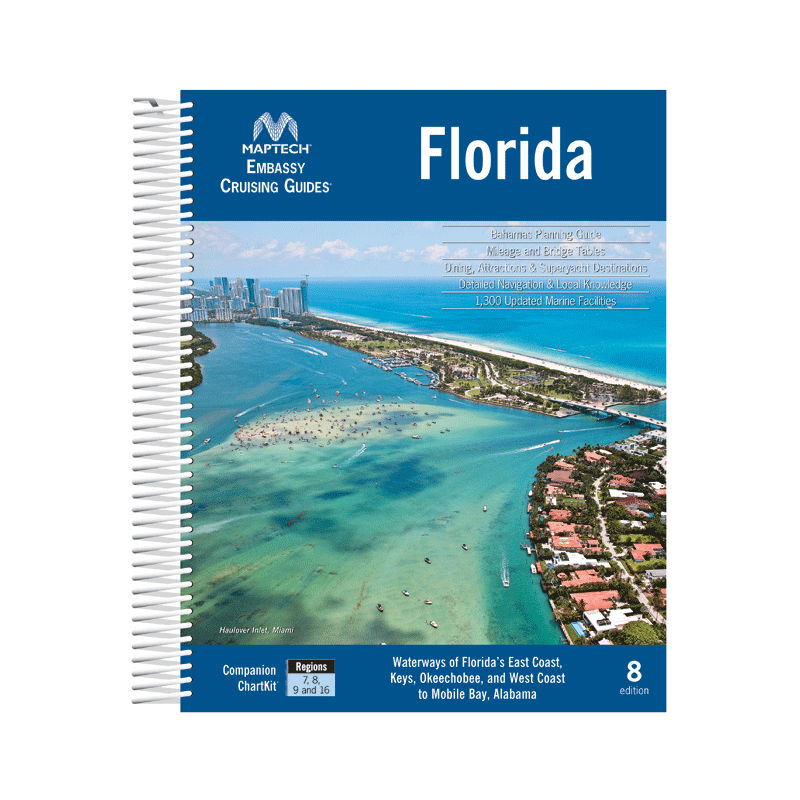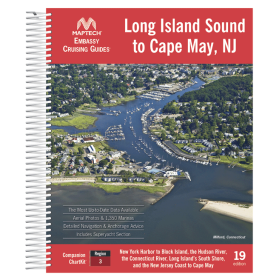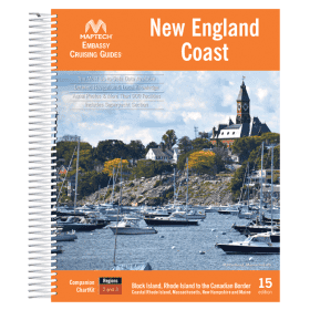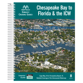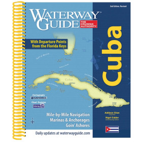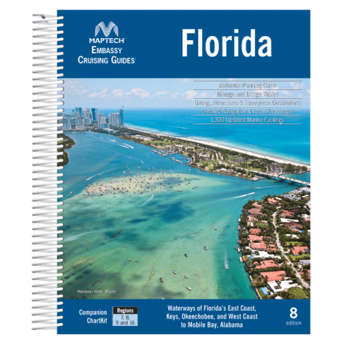




Navigate Florida’s coasts, Keys, and Okeechobee Waterway with confidence. Includes GPS waypoints, aerial imagery, and comprehensive listings for over 1,300 marine facilities in one spiral-bound guide.
Data sheet
Specific References
Navigate Florida’s intricate waterways and the Bahamas with confidence using this comprehensive cruising guide. Designed for boaters who demand precision and reliability, this guide covers the entire East Coast of Florida, the Gulf Coast up to Mobile (AL), the Florida Keys, and the Okeechobee Waterway. It also includes a detailed planning guide and marina directory for the Bahamas, making it the ultimate resource for both coastal and offshore adventures. Whether you're a seasoned sailor or a weekend cruiser, this guide provides everything you need to explore with ease.
This guide goes beyond basic charts by offering in-depth navigation advice tailored to Florida’s unique coastal challenges. It features aerial photographs that provide a bird’s-eye view of key areas, helping you identify landmarks, hazards, and safe passages. Detailed waypoints and GPS coordinates ensure you stay on course, while comprehensive bridge tables alert you to clearance heights and schedules. With insights on over 1,300 marine facilities—from marinas to fuel docks and repair services—you’ll always know where to dock, refuel, and restock.
Discover the best of Florida’s coastal gems with curated recommendations for dining, anchorages, and local attractions. The guide highlights must-visit destinations, from the vibrant shores of Miami to the tranquil waters of the Ten Thousand Islands. Each entry includes practical tips on mooring, local regulations, and hidden spots that only experienced cruisers know. Whether you're planning a short trip or an extended voyage, this guide ensures you make the most of every stop.
Engineered for durability and ease of use, this guide is spiral-bound with a rugged plastic cover that withstands the harsh marine environment. Its lay-flat design allows for effortless reference while at the helm, and the water-resistant pages ensure your notes and markings stay intact. With 546 pages of expertly curated content, it’s the only guide you’ll need to explore Florida’s waters and beyond. Updated in 2019, it reflects the latest navigational data and marina information, so you can cruise with confidence.
Unlike generic charts or digital apps, this guide combines the precision of GPS data with the practicality of real-world experience. It’s trusted by cruisers for its accuracy, depth, and user-friendly format. Whether you're plotting a course through the Intracoastal Waterway, exploring the Florida Keys, or venturing to the Bahamas, this guide is your indispensable companion for safe, enjoyable, and unforgettable voyages.
Explore Florida’s Waters with the Most Trusted Cruising Guide on the Market
This all-in-one cruising guide is your ultimate resource for navigating Florida’s East Coast, Gulf Coast, Florida Keys, and the Okeechobee Waterway, plus the Bahamas. Designed for boaters who prioritize accuracy and convenience, it combines detailed navigation advice, aerial photography, and a comprehensive directory of over 1,300 marine facilities. Whether you're planning a weekend getaway or a long-distance voyage, this guide provides the tools you need to cruise with confidence and precision.
Precision Navigation for Every Voyage
Stay on course with GPS waypoints, bridge clearance tables, and expert navigation tips tailored to Florida’s unique waterways. The guide includes aerial photos for visual reference, ensuring you can identify landmarks, hazards, and safe passages at a glance. With coverage extending from the Atlantic to the Gulf of Mexico and up to Mobile (AL), it’s the most reliable companion for both coastal and offshore adventures.
Durable, Practical, and Built for the Marine Environment
Engineered for life on the water, this guide features a rugged spiral-bound design with a plastic cover that resists wear and tear. The lay-flat format makes it easy to reference while steering, and the water-resistant pages protect your notes and markings. Weighing just 2 kg, it’s lightweight enough to carry on board but packed with 546 pages of essential information, including the latest updates from the 2019 edition.
Your Gateway to Florida’s Best Destinations
From the bustling marinas of Miami to the serene anchorages of the Ten Thousand Islands, this guide highlights the best of Florida’s coastal destinations. Each entry includes insider tips on dining, mooring, and local attractions, so you can make the most of every stop. With detailed listings for over 1,300 marine facilities—including fuel docks, repair services, and provisions—you’ll always know where to dock, refuel, and relax.
This 10th edition cruising guide is packed with 546 pages of detailed navigation data, including GPS waypoints, bridge clearance tables, and aerial photographs. It covers latitudes from 24.05°N to 31.32°N and longitudes from -88.21°W to -79.34°W, spanning Florida’s East Coast, Gulf Coast, Florida Keys, and the Okeechobee Waterway, as well as the Bahamas. The guide features a durable spiral-bound design with a plastic cover, weighs 2 kg, and is printed in English for easy reference.
With decades of experience in marine navigation, this publisher is a trusted name among boaters for producing high-quality cruising guides. Their publications are known for combining accurate, up-to-date data with practical insights, making them indispensable tools for safe and enjoyable voyages. Each guide is meticulously researched and designed to withstand the demands of life on the water.
The guide features an unbreakable plastic spiral binding, designed to withstand harsh marine conditions and frequent handling.
The guide includes detailed listings for over 1,300 marine facilities, covering marinas, services, and amenities.
Yes, it provides GPS waypoints to assist with precise navigation along the covered routes.
The guide weighs approximately 2 kilograms (4.4 pounds).
Yes, the guide features aerial photos to help with visual navigation and destination planning.
It covers the East Coast of Florida, the Gulf Coast up to Mobile (AL), the Florida Keys, the Okeechobee Waterway, and includes planning guides and facility listings for the Bahamas.
Yes, it includes a planning guide and facility listings for the Bahamas, making it useful for cruisers navigating international waters.
You might also like