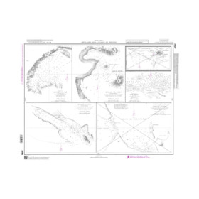
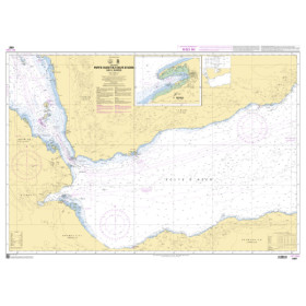
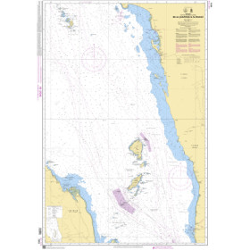
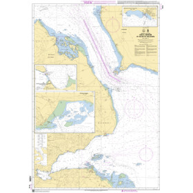
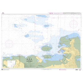
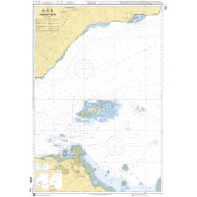
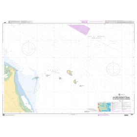
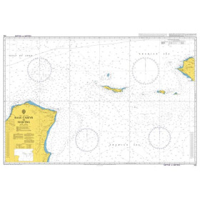
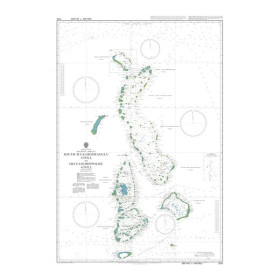
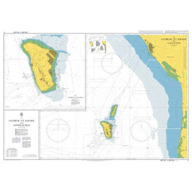
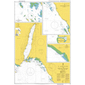
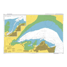
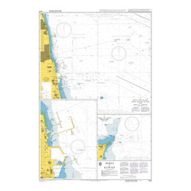
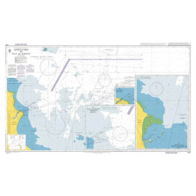
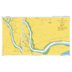
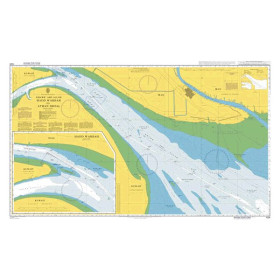
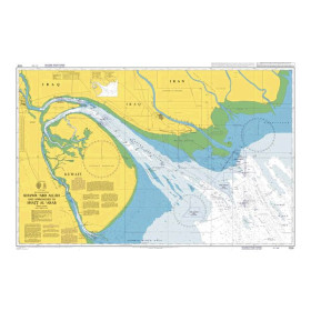
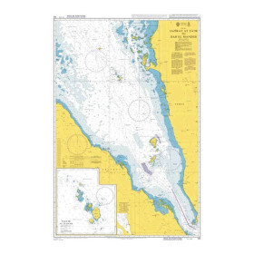
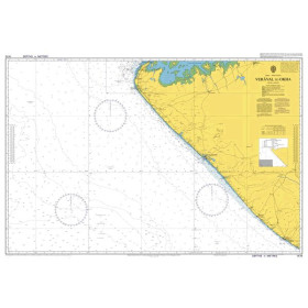
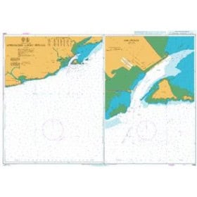
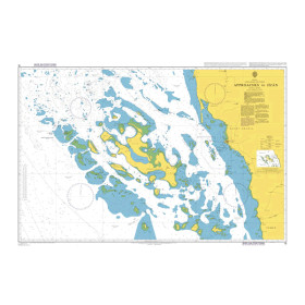
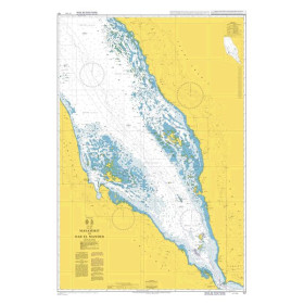
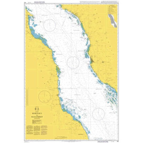
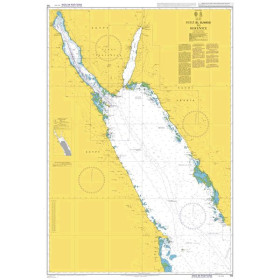
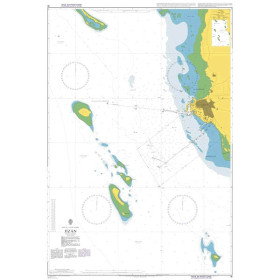
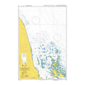
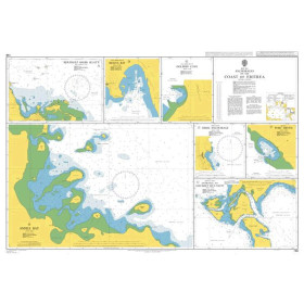
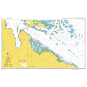
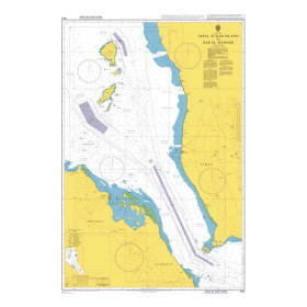
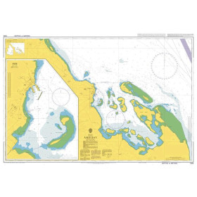
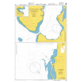
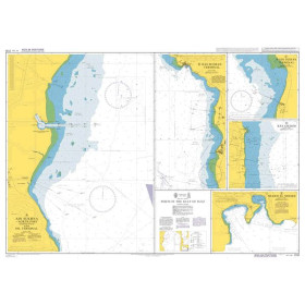
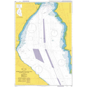
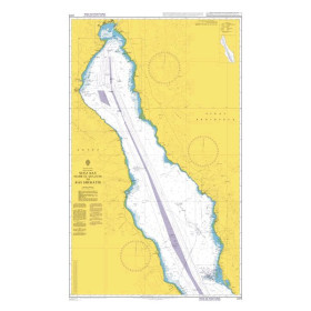
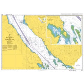
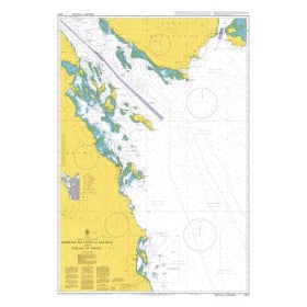
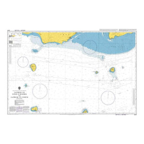
Nautical chart for the Gulfs of Suez, Aden, Persian, Oman, Red and Arabian Seas
Are you looking for a paper nautical chart for sailing in the Gulfs of Suez, Aden, Persian Gulf and Gulf of Oman, as well as the Red Sea and Arabian Sea? This selection covers strategic maritime areas between the Mediterranean, Indian Ocean and the Middle East, with nautical charts suitable for coastal and offshore navigation. Explore the approaches to Port Said and Suez, Djibouti and Aden, Salalah, Muscat, Dubai, Abu Dhabi, Doha, Kuwait and Karachi. Admiralty nautical charts are widely used for maritime charting in these regions, with extensive coverage of the Red Sea, Gulf of Aden, Gulf of Oman and Persian Gulf. Imray charts can also complement voyage planning for recreational sailing in certain areas. Whether you are planning a delivery voyage, a Red Sea crossing, navigation towards the Suez Canal or a route towards the Indian Ocean, choose a nautical chart suited to your itinerary and the scale required for your voyage.

 Click here to open our interactive map and select your charts