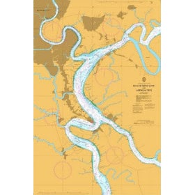
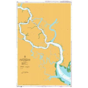
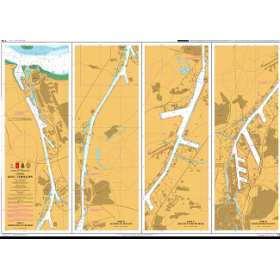
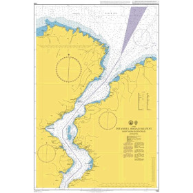
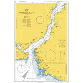
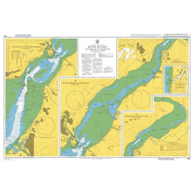
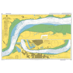
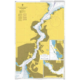
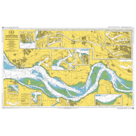
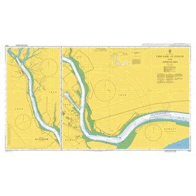
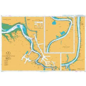
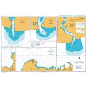
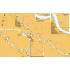
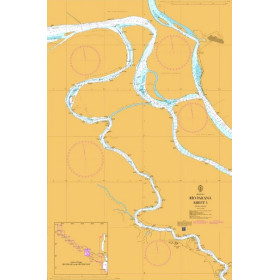
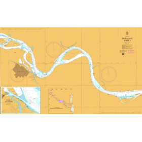
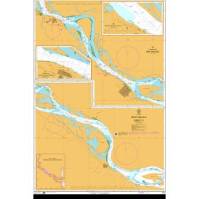
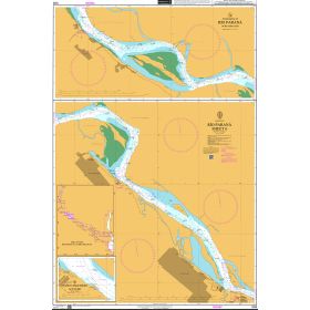
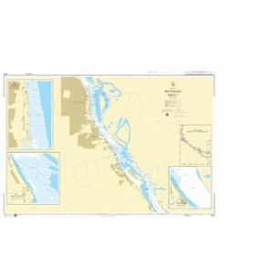
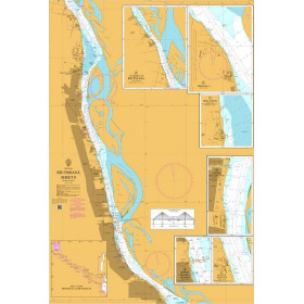
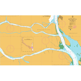
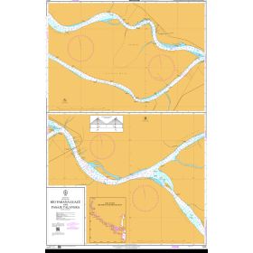
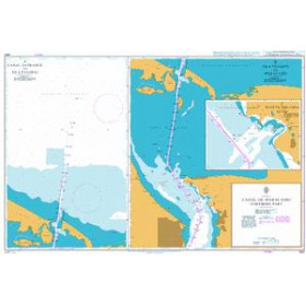
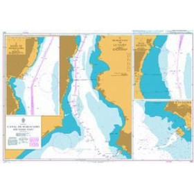
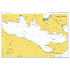
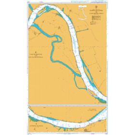
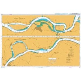
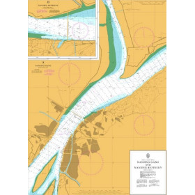
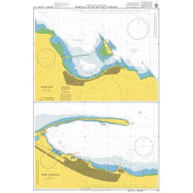
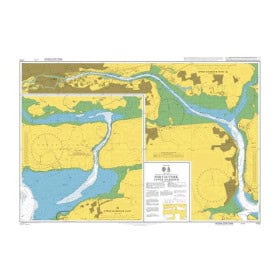
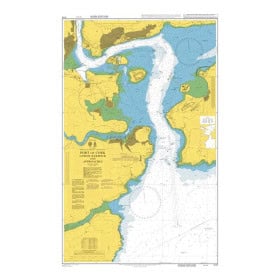
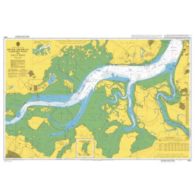
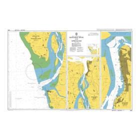
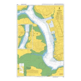
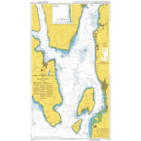
Admiralty River chart
Admiralty inland waterway charts are designed for professional navigation and route planning on major waterways, estuaries and port areas in the United Kingdom and Europe. They provide detailed cartographic information on channels, depths, buoyage, bridges, locks, ports and approaches to maritime and inland navigation infrastructure. They can be used for route planning around estuaries, port approaches and selected inland navigation areas, including the approaches to London, Liverpool and major North Sea ports such as Rotterdam. An Admiralty inland waterway chart helps navigators identify navigation constraints, prepare for challenging passages and complement the information required for voyage planning. These charts are particularly useful for maritime professionals, crews, navigation schools and navigators seeking reliable hydrographic documentation. They form part of a wider set of nautical publications and regulatory information used to support accurate and safe navigation in coastal, port and inland waterway environments.

 Click here to open our interactive map and select your charts