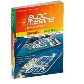
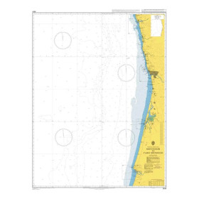
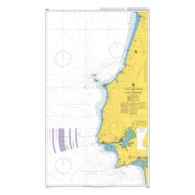
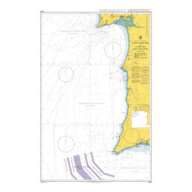
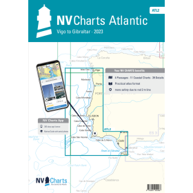
I am sailing in Portugal
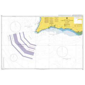
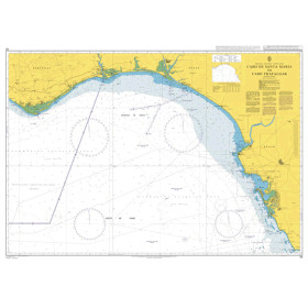
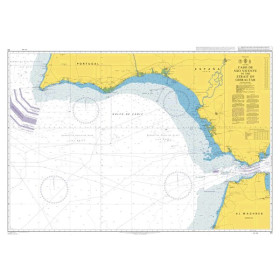
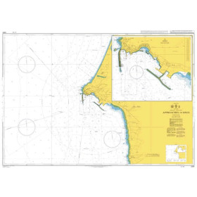
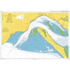
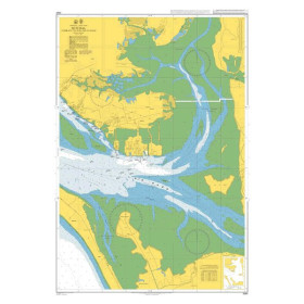
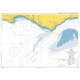
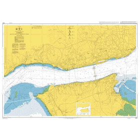
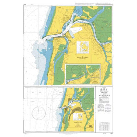
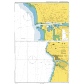
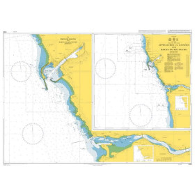
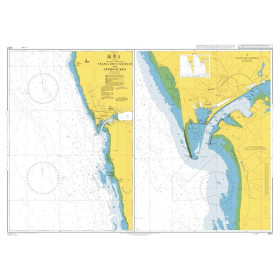
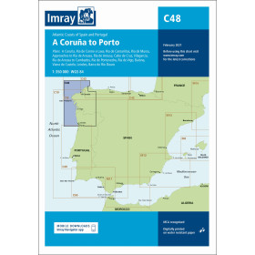
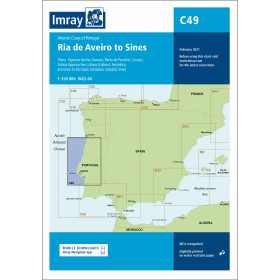
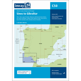
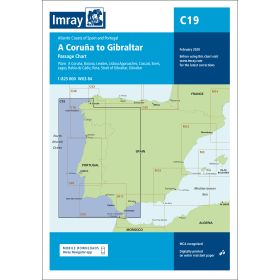
The category “I navigate in Portugal” brings together nautical charts, cruising guides and essential documents for planning navigation along the Portuguese coast, from the Atlantic coastline to the Tagus estuary. It covers mainland Portugal, the Algarve, the Lisbon coast and the Porto region, as well as major ports and stopovers such as Porto, Aveiro, Figueira da Foz, Lisbon, Cascais, Setúbal, Sines, Lagos, Portimão, Albufeira and Vila Real de Santo António. These documents are also suitable for sailors planning passages to Madeira, the Azores or the Canary Islands. Find charts covering the Atlantic Ocean, harbour approaches, anchorages and Portuguese coastal waters. Nautic Way offers charts and guides from publishers and brands including Imray, Admiralty, SHOM, Navionics and C-MAP, useful for planning a cruise, coastal passage or ocean crossing, with information on depths, hazards, ports, buoyage and navigation conditions.

 Click here to open our interactive map and select your charts