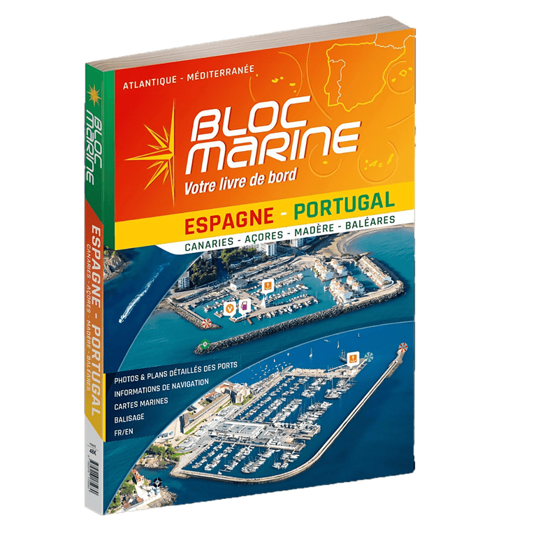





Navigate Spain and Portugal’s coasts with this 2023 bilingual guide. 300 port fiches, aerial photos, detailed maps, and key navigation details for safe and seamless cruising.
Data sheet
Specific References
Navigate the stunning coastlines of Spain and Portugal with confidence using this comprehensive marine guide. Designed for boaters, sailors, and cruising enthusiasts, this bilingual French-Spanish almanac is your go-to resource for safe and enjoyable voyages along the Iberian Peninsula and its breathtaking islands. With nearly 300 fully updated port entries, this guide ensures you have the most accurate and practical information at your fingertips.
Each port entry is meticulously crafted to provide everything you need for smooth sailing. High-resolution aerial photos and precise port plans offer a clear visual reference, while navigation details—such as distances, access routes, lights, and buoyage—help you approach with ease. Whether you're docking for the night or seeking shelter from rough seas, this guide delivers reliable data to make informed decisions.
Beyond navigation, this guide connects you to essential services. Contact details for port offices, along with a breakdown of available facilities—fuel, water, electricity, repairs, and provisions—ensure you’re never caught unprepared. Whether you're planning a short stopover or an extended stay, you’ll find the resources to keep your journey hassle-free.
With over 80 detailed charts, this guide doubles as a powerful planning tool. Plot your course across the Balearic Islands, Madeira, the Canaries, or the Azores with precision. The atlas provides a bird’s-eye view of your route, helping you anticipate challenges and optimize your itinerary for the best sailing conditions.
With 450 pages of expertly curated content, this guide has been a trusted companion for sailors since 1964. Its professional-grade accuracy and user-friendly layout make it indispensable for both seasoned mariners and weekend cruisers. Whether you're exploring hidden coves or bustling marinas, this guide equips you with the knowledge to sail safely and efficiently.
Unlock the Best of Spain and Portugal’s Coastal Waters
Discover the ultimate marine guide for navigating the diverse and stunning coastlines of Spain, Portugal, and their iconic islands. This bilingual French-Spanish almanac is packed with nearly 300 meticulously updated port entries, covering everything from the sun-drenched Balearic Islands to the volcanic landscapes of the Canaries and the remote beauty of the Azores. Whether you're a seasoned sailor or a weekend cruiser, this guide provides the tools you need to explore with confidence.
Precision Navigation with Aerial Imagery and Port Plans
Each port entry includes high-resolution aerial photos and detailed plans, giving you a clear visual reference before you even drop anchor. Navigate with ease thanks to comprehensive data on distances, access routes, lights, and buoyage. This guide ensures you can approach any harbor safely, whether you're seeking shelter from rough seas or planning an overnight stay.
Stay Connected with Essential Port Services
Beyond navigation, this guide keeps you informed about the services available at each port. From fuel and water refills to repairs, provisions, and local contacts, you’ll have all the information needed to keep your voyage smooth and stress-free. No more guessing—just reliable, up-to-date details to help you plan every stop with precision.
Plan Like a Pro with Over 80 Detailed Charts
With more than 80 charts included, this guide is your strategic planning companion. Plot your course across the Iberian Peninsula, the Balearics, Madeira, the Canaries, or the Azores with confidence. The atlas provides a comprehensive overview of your route, helping you anticipate challenges and optimize your itinerary for the best sailing conditions.
A Legacy of Trust and Reliability
Weighing just 2 kg and spanning 450 pages, this guide has been a trusted resource for sailors since 1964. Its professional-grade accuracy and user-friendly design make it an indispensable tool for anyone exploring these waters. Whether you're charting a short coastal trip or an extended island-hopping adventure, this guide ensures you’re always prepared.
This comprehensive marine guide offers nearly 300 fully updated port entries, complete with aerial photos, detailed port plans, and essential navigation data such as distances, access routes, lights, and buoyage. It includes over 80 charts for strategic route planning and covers key regions like Spain, Portugal, the Balearic Islands, Madeira, the Canaries, and the Azores. With 450 pages and a weight of 2 kg, this bilingual French-Spanish almanac is designed for both practical use and in-depth trip preparation.
For nearly six decades, this series has been the gold standard for marine guides, trusted by sailors and boaters worldwide. Known for its meticulous accuracy and practical approach, it provides essential tools for safe and enjoyable navigation, making it a must-have for anyone exploring coastal waters.
The guide covers Portugal, Spain, the Balearic Islands, Madeira, the Canary Islands, and the Azores, with detailed port information for each region.
Yes, the 2023 edition includes fully updated aerial photos and detailed port plans for all covered regions.
The guide contains 450 pages, including port fiches, navigation details, and an atlas of over 80 maps.
Each port fiche includes distances, access routes, lights, buoyage, port office contacts, and available services and facilities.
Yes, it has been a trusted professional resource for 59 years, offering precise and reliable navigation data.
The guide is bilingual, available in both French and Spanish.
The guide weighs approximately 2 kg.
You might also like