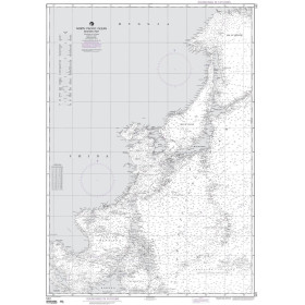
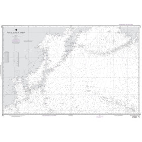
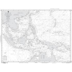
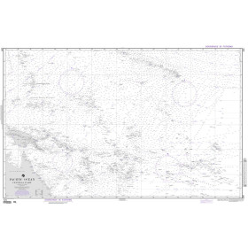
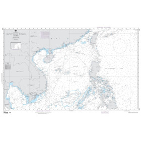
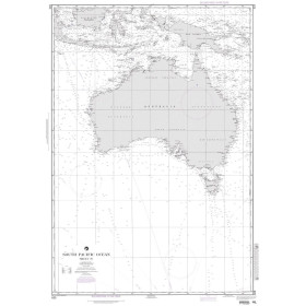
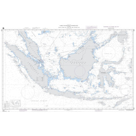
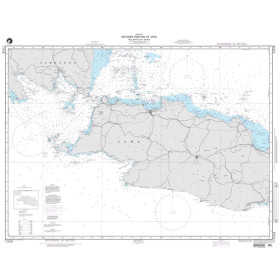
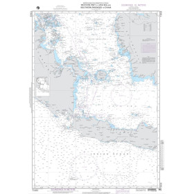
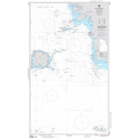
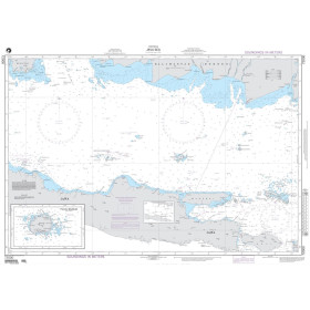
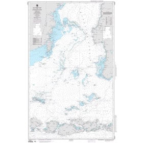
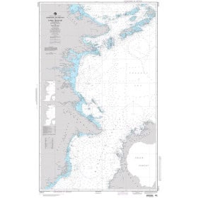
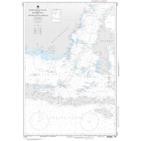
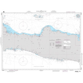
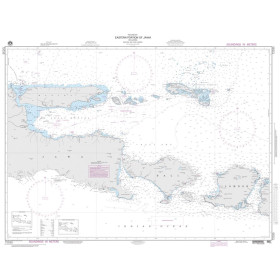
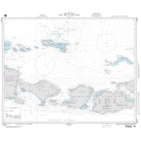
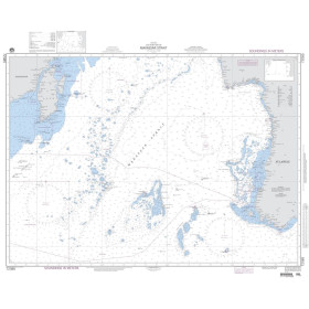
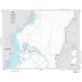
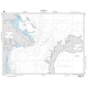
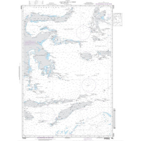
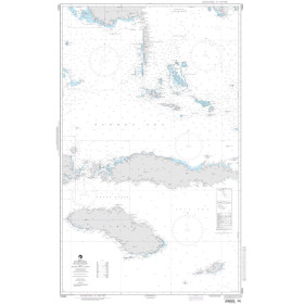
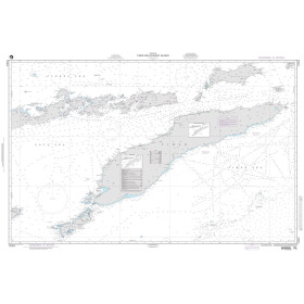
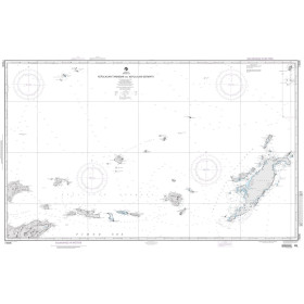
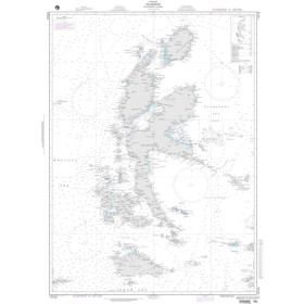
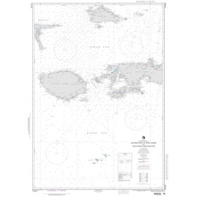
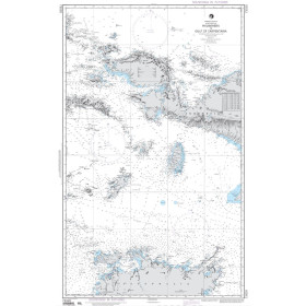
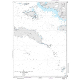
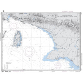
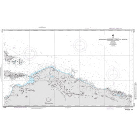
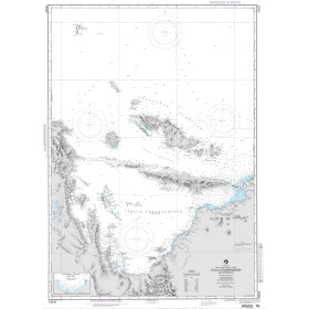
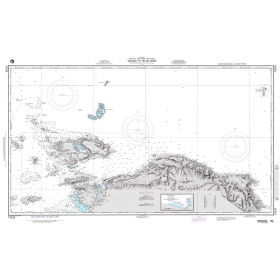
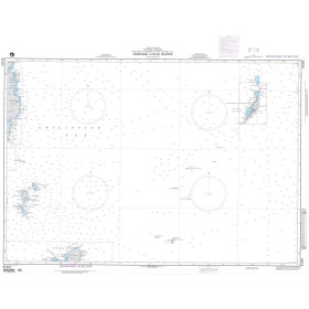
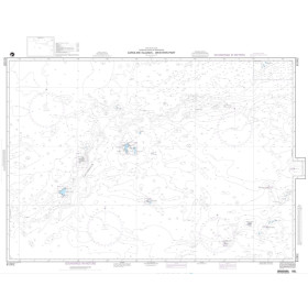
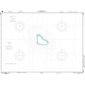
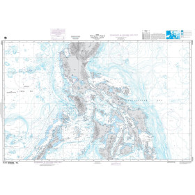
NGA nautical chart Philippine, Celebes, Java, Banda, Japan, Yellow, China, Gulf of Thailand seas
Stretching from Southeast Asia to the Far East, this region is one of the world's busiest and most complex navigation areas, combining narrow straits, remote archipelagos, tropical waters and major international shipping routes. Nautic Way offers 78 NGA charts divided into coastal (1 product), nearshore (6 products), offshore (62 products) and oceanic (5 products) coverage, including NGA 00524 for the Philippines and Indonesia, NGA 00632 from the Strait of Malacca to the Banda Sea, and NGA 91004 for Scarborough Shoal in the South China Sea. Printed in large format on high-quality paper, they comply with IHO (INT Chart) standardised symbology and provide detailed information on soundings, seabed characteristics, channels, port infrastructure, exclusive economic zones and lighthouse sectors.

 Click here to open our interactive map and select your charts