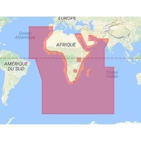
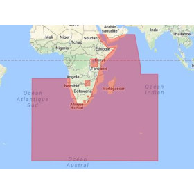
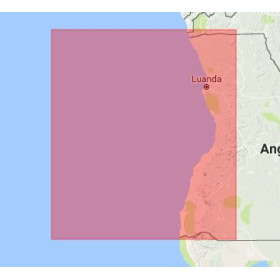
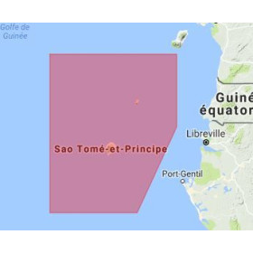
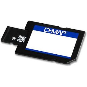
I am looking for a C-Map digital marine chart
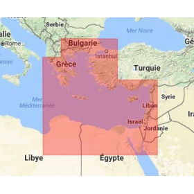
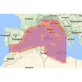
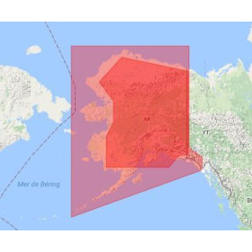
Are you looking for a C-MAP digital marine chart to plan and monitor your sailing trips? C-MAP cartography provides detailed nautical data for coastal and offshore navigation and route planning on compatible electronic equipment. Depending on the area and chart reference selected, a C-MAP marine chart can provide information on depths, soundings, depth contours, coastlines, ports, channels, navigation aids, obstacles and navigational hazards. C-MAP digital charts are designed for use with compatible GPS chartplotters and navigation systems. Choosing a digital C-MAP marine chart depends on several factors, including the geographic area, type of equipment, chartplotter model and required chart coverage. Before ordering, it is important to check the exact compatibility between the C-MAP chart, the navigation equipment and its software environment. Nautic Way can help you identify the C-MAP cartography suited to your navigation requirements.

 Click here to open our interactive map and select your charts