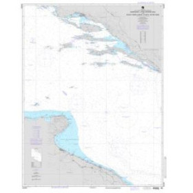
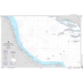
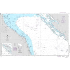
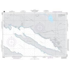
NGA nautical chart Mediterranean sea
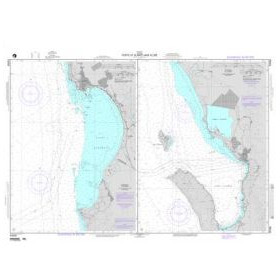
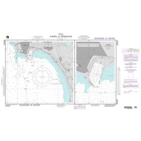
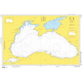
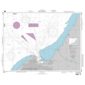
Stretching from the Strait of Gibraltar to the Bosphorus and the Georgian coast, this region forms a maritime area of global strategic importance. NGA (National Geospatial-Intelligence Agency) charts represent the professional standard used by commercial shipping and fishing fleets in this region, including NGA chart 55001 for the Black Sea. Printed in large format on high-quality paper, they comply with IHO (INT Chart) standardised symbology and provide detailed information on soundings, seabed characteristics, channels, port infrastructure, exclusive economic zones and lighthouse sectors.
Paper nautical chart by publisher (12 products)

 Click here to open our interactive map and select your charts
Vue carte
Vue liste
12 produits correspondent à vos critères.
Effacer
Vue carte
Vue liste
12 produits correspondent à vos critères.