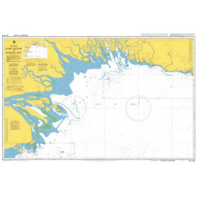
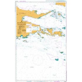
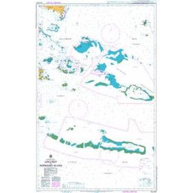
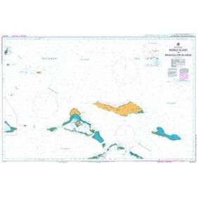
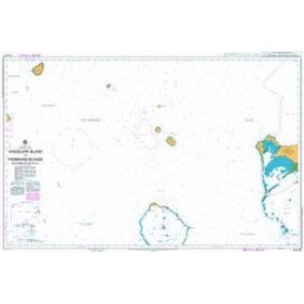
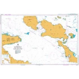
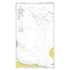
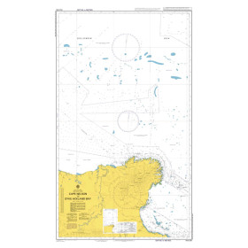
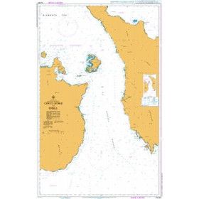
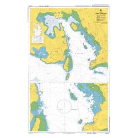
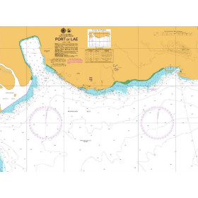
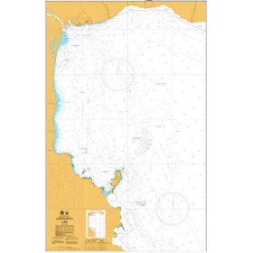
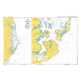
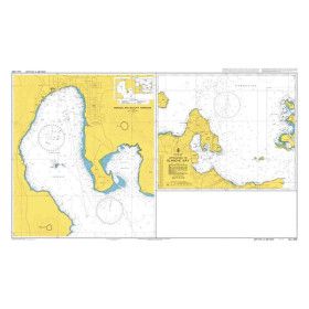
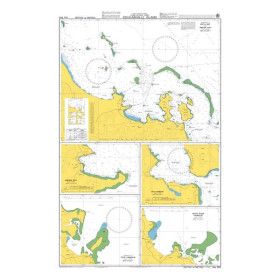
National Maritime Authority Papua New Guinea nautical chart
Papua New Guinea, with its hundreds of islands and extensive coral reefs, is one of the most complex maritime regions in the South Pacific. Charts issued by the National Maritime Authority of Papua New Guinea (NMA PNG) cover the area with coastal and littoral charts, including PNG622 for Port Moresby and PNG642 for the port of Lae.
Each chart provides detailed information on depths in metres, coastal features (beaches, mangroves and cliffs), fringing reefs, shoal waters and wrecks.
These charts are essential for professional mariners, offshore yacht skippers exploring the Bismarck Archipelago or the Louisiade Archipelago, scientific expeditions and offshore operators. However, some isolated areas are subject to “poorly surveyed” or “inadequately surveyed” coverage warnings, as they have only been partially surveyed. This requires particular caution and the complementary use of recent satellite imagery.

 Click here to open our interactive map and select your charts