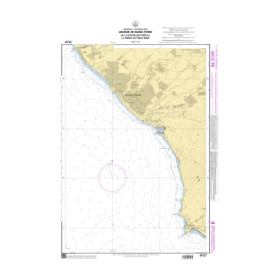
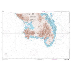
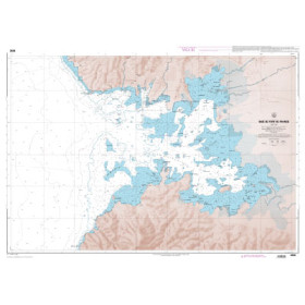
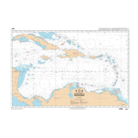
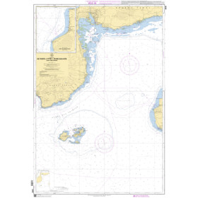
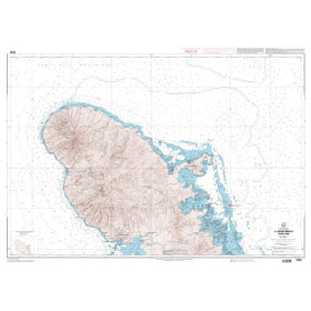
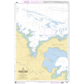
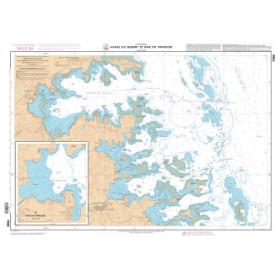
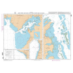
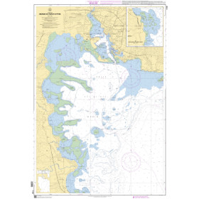
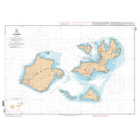
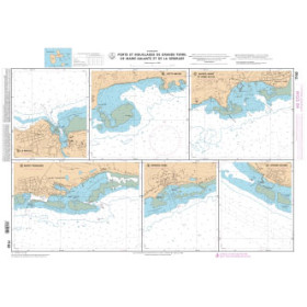
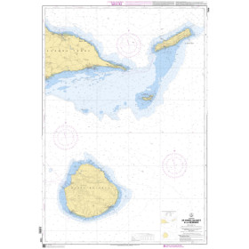
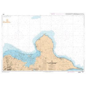
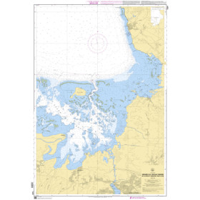
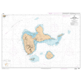
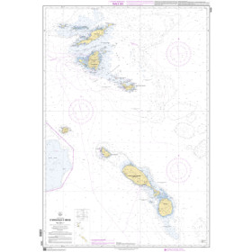
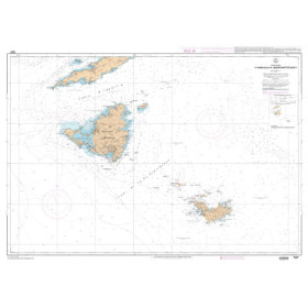
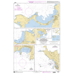
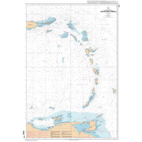
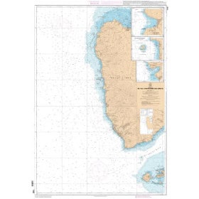
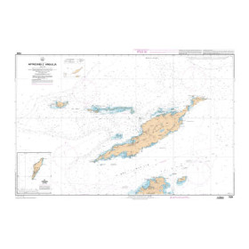
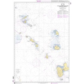
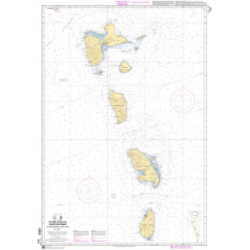
Shom raster nautical chart Caribbean Sea, Gulf of Mexico
The Shom marine raster GeoTIFF charts for the Caribbean Sea and the Gulf of Mexico are the digital versions of the official paper nautical charts, georeferenced for computer use. They are produced from the official data of the French Hydrographic and Oceanographic Service (Shom). They retain the exact visual appearance of traditional charts — colors, symbols, and bathymetry. Available in GeoTIFF format (300 dpi), they are compatible with navigation and GIS software such as OpenCPN, QGIS, or ArcGIS.
The Caribbean Sea and Gulf of Mexico area covers: Belize (Port of Belize), Guatemala (Puerto Barrios), Honduras (Puerto Cortés, La Ceiba, Puerto Lempira), Nicaragua (Puerto Cabezas, Bluefields), Costa Rica (Puerto Limón), Panama (Colón), Colombia (Cartagena, Barranquilla, Santa Marta), Venezuela (La Guaira, Puerto Cabello, Maracaibo), Mexico (Puerto Morelos, Cozumel, Playa del Carmen, Veracruz, Tampico, Coatzacoalcos, Progreso), Cuba (Havana, Santiago de Cuba, Cienfuegos, Mariel), Jamaica (Kingston, Montego Bay), Haiti (Port-au-Prince, Cap-Haïtien), Dominican Republic (Santo Domingo, Puerto Plata, Haina), Puerto Rico (San Juan), Trinidad and Tobago (Port of Spain, Point Lisas, Scarborough), Antigua and Barbuda, Saint Kitts and Nevis, Dominica, Saint Lucia, Saint Vincent and the Grenadines, Grenada, Barbados (St. John’s, Basseterre, Castries, Bridgetown), United States (Houston, New Orleans, Mobile, Tampa, Port Arthur, Corpus Christi)...