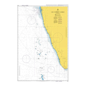
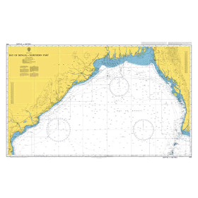
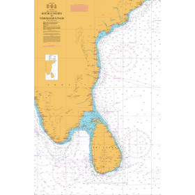
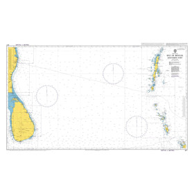
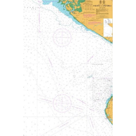
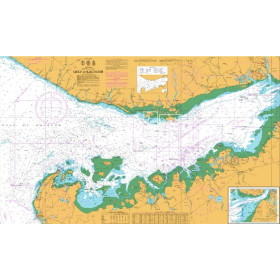
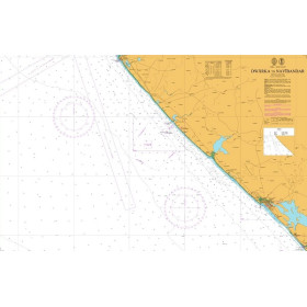
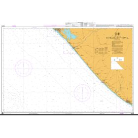
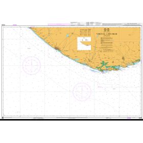
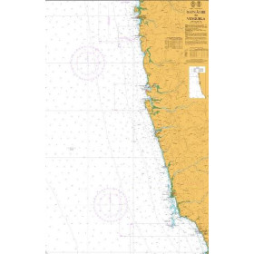
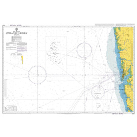
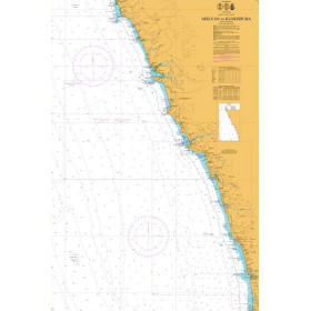
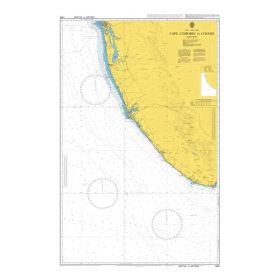
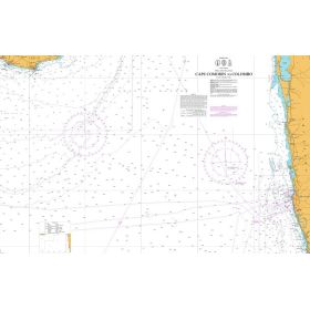
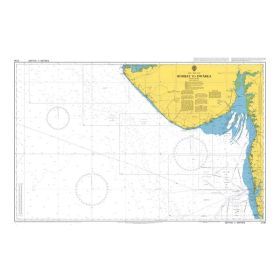
National Hydrographic Office India nautical chart
The charts produced by the National Hydrographic Office of India (INHO) are the official reference for the Arabian Sea, the Bay of Bengal and the Indian Ocean, some of the busiest waters in the world, with more than 7,500 kilometres of coastline. Nautic Way offers a wide range of charts covering coastal, approach and offshore areas, helping to ensure safe approaches to major ports such as Mumbai, Chennai, Kochi, Kolkata and Visakhapatnam. Each chart provides detailed information on depths in metres, coastal features (beaches, mangroves and estuaries), aids to navigation and shallow-water areas, which is particularly valuable when navigating waters affected by complex seasonal currents, monsoons and cyclones. These charts are essential for professional mariners, masters operating in the Andaman and Nicobar Islands, experienced offshore sailors undertaking long-distance passages, and maritime training schools. They comply with the international standards of the International Hydrographic Organization (IHO).

 Click here to open our interactive map and select your charts