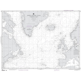
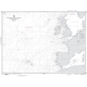
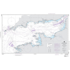
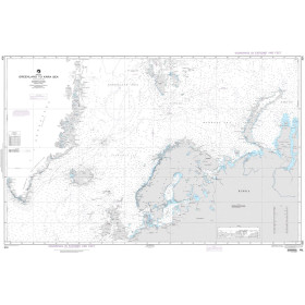
NGA nautical chart English Channel
The English Channel is one of the world's busiest and most strategically important maritime crossroads, where highly reliable nautical documentation is essential. NGA (National Geospatial-Intelligence Agency) charts provide a global professional standard for this area, including NGA chart 36005 (English Channel), helping mariners anticipate traffic patterns in strategic straits and along major international shipping routes. Printed in large format on high-quality paper, they comply with IHO (INT Chart) standardised symbology and provide detailed information on soundings, seabed characteristics, channels, port infrastructure, exclusive economic zones and light sectors.
Paper nautical chart by publisher (4 products)

 Click here to open our interactive map and select your charts
Vue carte
Vue liste
4 produits correspondent à vos critères.
Effacer
Vue carte
Vue liste
4 produits correspondent à vos critères.