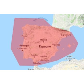
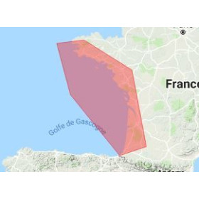
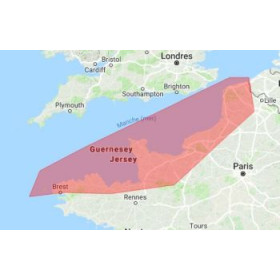
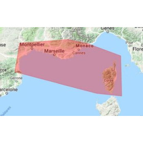
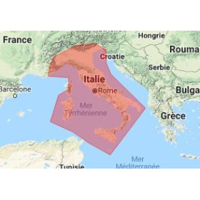
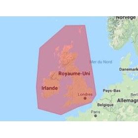
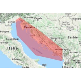
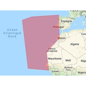
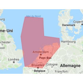
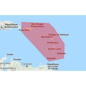
I am looking for a SnMap digital marine chart for Adrena software.
The SnMap digital marine chart for Adrena software is designed for sailors who need digital cartography to plan, analyse and monitor their navigation. It allows users to display the covered maritime areas and, depending on the available data, depths, soundings, depth contours, coastlines, ports, channels, navigation aids, hazards and wrecks. An SnMap chart can be used for coastal navigation, cruising, boat deliveries or offshore sailing, depending on the selected geographical coverage. With Adrena, digital cartography provides a useful support for studying a route, positioning waypoints and analysing the surrounding marine environment. Before use, it is important to check the exact compatibility between the SnMap chart, the data format, the version of Adrena software and the equipment being used. This digital marine charting solution is therefore suited to computer-assisted navigation and route planning, providing sailors with detailed cartographic information for preparing and analysing their planned voyages.

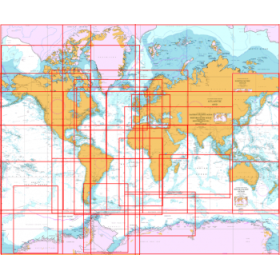
 Click here to open our interactive map and select your charts