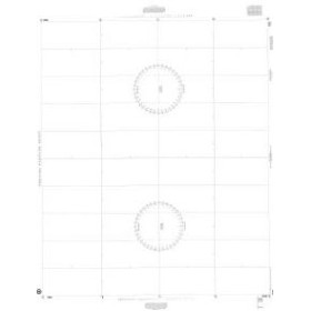
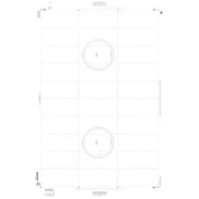
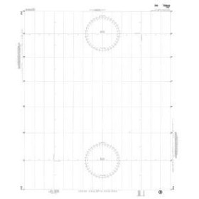
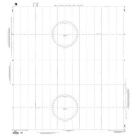
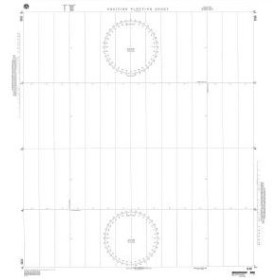
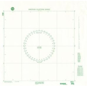
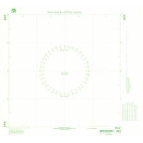
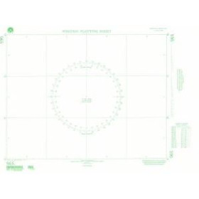
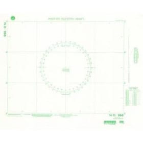
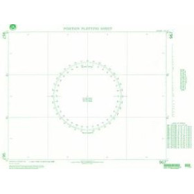
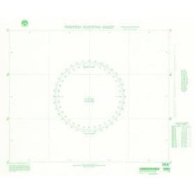
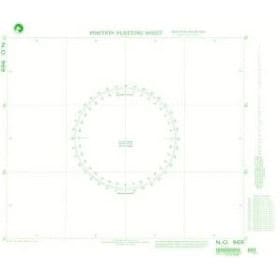
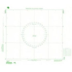
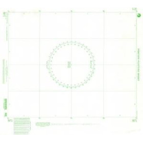
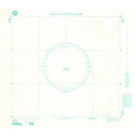
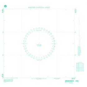
Diagram
A nautical nomogram is a specialized document used by sailors to perform certain calculations and determinations required for maritime navigation. Depending on its purpose, it can help with route, distance, bearing, tidal or other navigation-related calculations. Nautical nomograms can be used when planning navigation in the English Channel, Atlantic Ocean, Bay of Biscay, Mediterranean Sea, North Sea, Caribbean Sea or Indian Ocean, including passages between ports such as Brest, Cherbourg, La Rochelle, Marseille, Lisbon, Rotterdam or Papeete. In the field of nautical cartography, SHOM publications are a reference for many French sailors and maritime professionals. Publishers such as Admiralty and Imray also offer technical books and documents designed for navigation. A nautical nomogram complements paper nautical charts, tide tables, sailing directions and other publications essential for planning a maritime route.