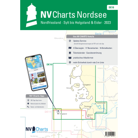
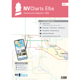
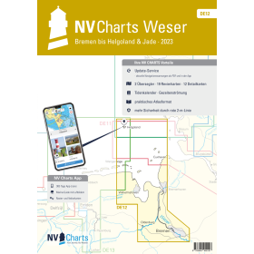
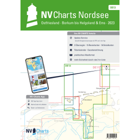
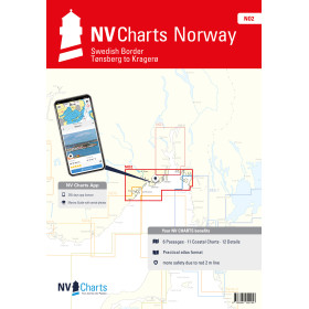
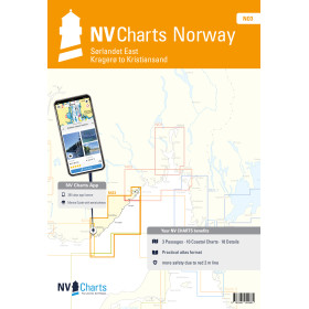
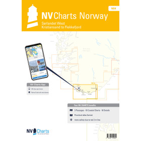
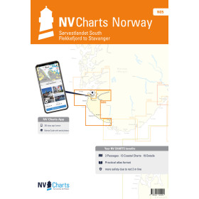
NV Charts nautical chart North and Norwegian seas
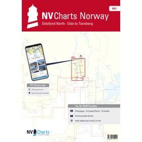
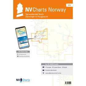
Navigation in the North Sea and Norwegian Sea requires the utmost precision due to the complexity of the coastlines, significant tidal ranges and sometimes harsh weather conditions. NV Charts covers the entire area with more than 24 products, from the Netherlands (NL) to Norway (NO), via Germany (DE) and England (UK 5). In southern Norway, folio NO 1 covers the northern Oslofjord, while NO 6 covers the area from Stavanger to Haugesund. Each folio combines several scales in a practical bound booklet, with colour-coded visual references that make it easier to interpret depths, aids to navigation, hazards and anchorages, including in complex areas such as the East Frisian Islands. The strength of NV Charts lies in its hybrid approach: a paper + digital package with the NV Charts App, which can be installed on up to 5 devices and synchronised every 15 minutes, providing essential redundancy in the event of an electrical system failure.

 Click here to open our interactive map and select your charts