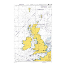
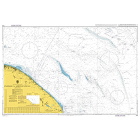
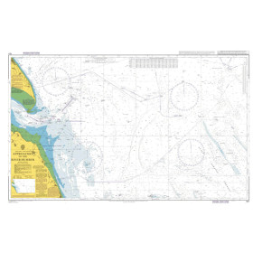
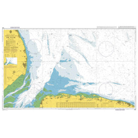
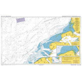
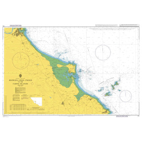
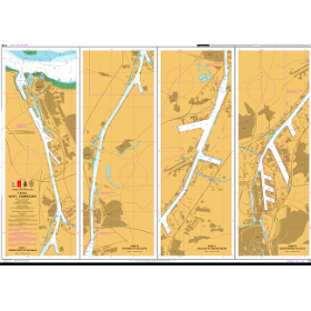
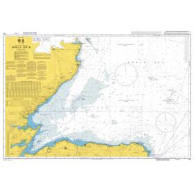
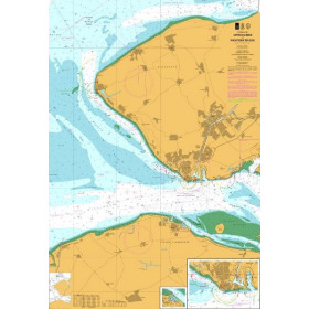
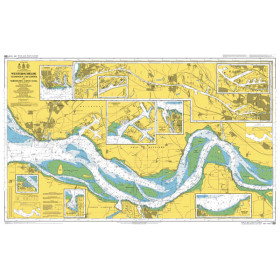
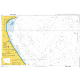
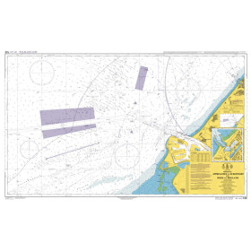
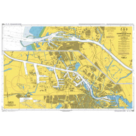
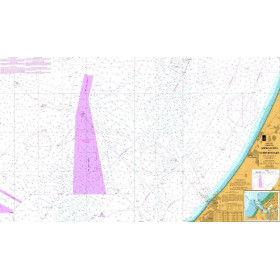
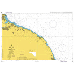
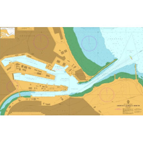
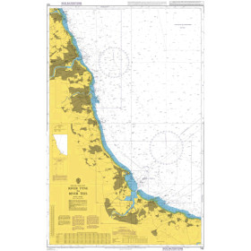
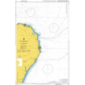
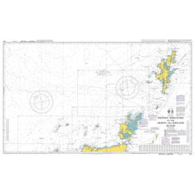
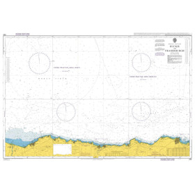
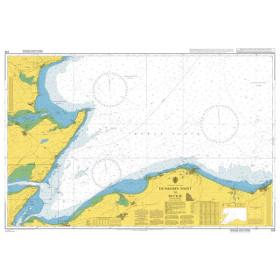
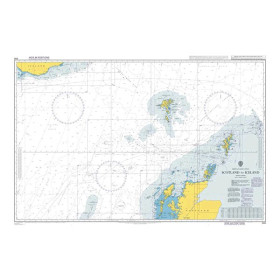
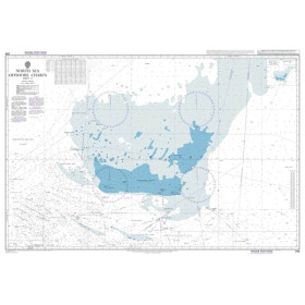
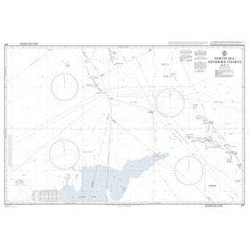
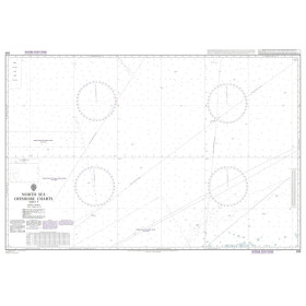
Admiralty nautical chart North sea
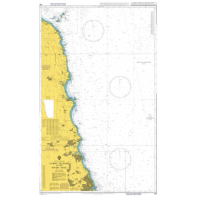
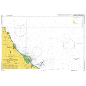
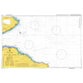
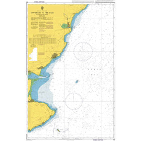
The Admiralty North Sea nautical chart is designed for planning coastal navigation, regional passages and shipping routes in one of Europe’s busiest maritime areas. Published by the United Kingdom Hydrographic Office (UKHO), Admiralty charting provides an overview of the coastlines of the United Kingdom, France, Belgium, the Netherlands, Germany, Denmark and Norway, as well as the main ports, straits, sandbanks and navigation routes. It is particularly useful for planning a passage from the English Channel into the North Sea, navigation between France, England and the Netherlands, or a route towards ports in Germany and Scandinavia. An Admiralty North Sea nautical chart complements the coastal and detailed charts required for harbour approaches and complex areas. It is suitable for professional mariners, recreational sailors, delivery crews, navigation schools and long-distance sailors looking for reliable and structured charting.

 Click here to open our interactive map and select your charts