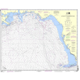
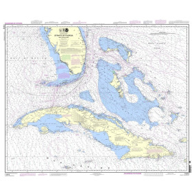
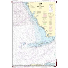
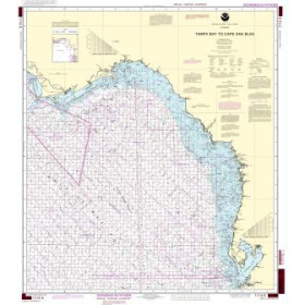
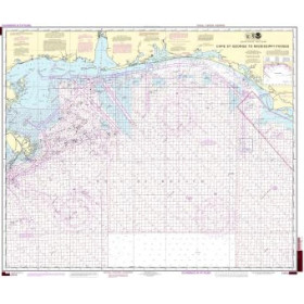
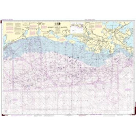
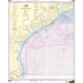
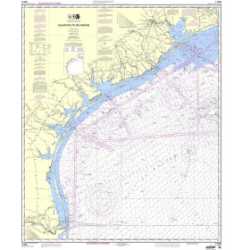
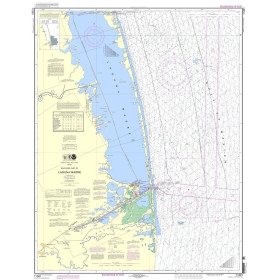
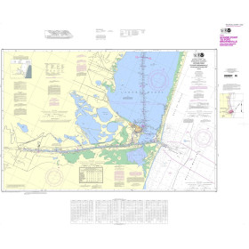
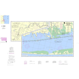
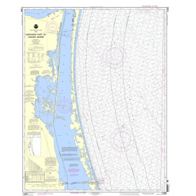
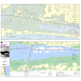
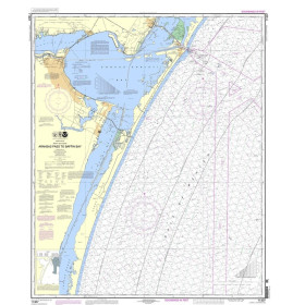
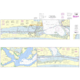
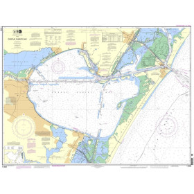
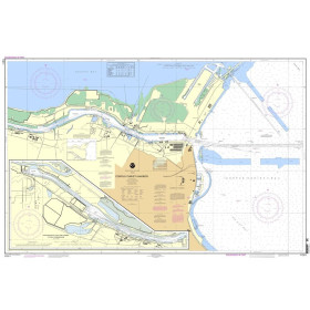
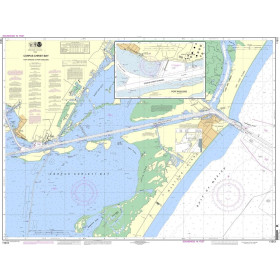
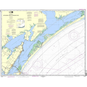
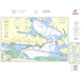
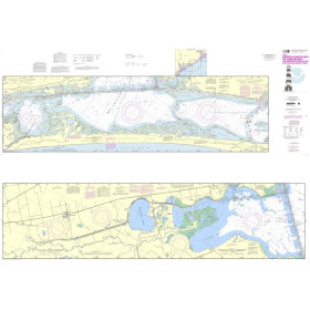
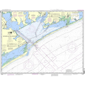
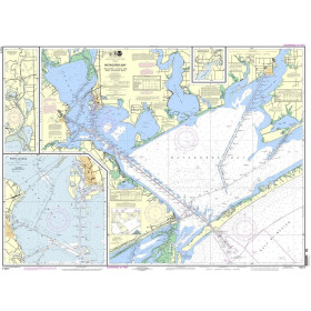
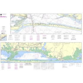
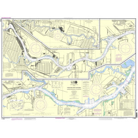
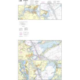
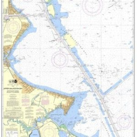
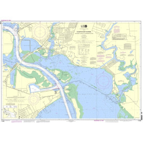
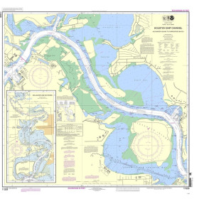
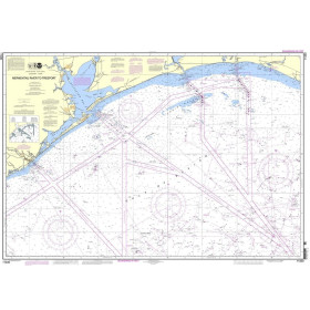
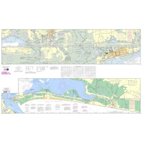
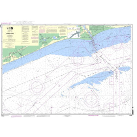
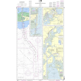
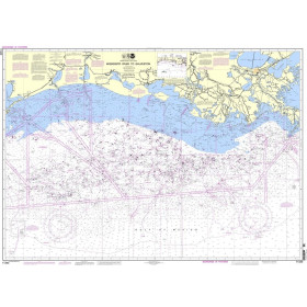
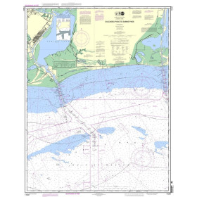
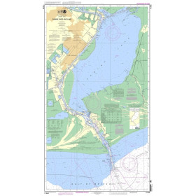
NOAA nautical chart Caribbean sea, gulf of Mexico
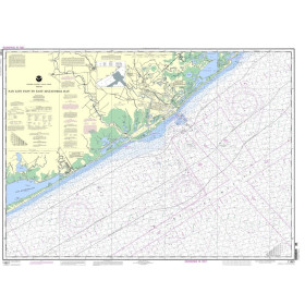
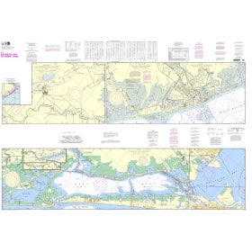
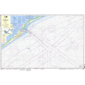
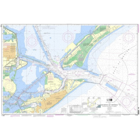
The Caribbean Sea and the Gulf of Mexico form one of the world's most strategically important maritime areas, where the coral reefs of the Florida Keys and oil and gas concession areas require the highest levels of hydrographic accuracy. NOAA charts, produced by the Office of Coast Survey since 1807, cover the entire region, including chart 11006 (Key West to the Mississippi River), 11340 (Mississippi River to Galveston), and folio chart 11326SC for small vessels in Galveston Bay. A crucial point: NOAA announced the complete discontinuation of traditional paper chart production as of January 1, 2025. To ensure continuity, Nautic Way offers printed charts based on ENCs (Electronic Navigational Charts), updated in near real time and now displaying depths in metres rather than fathoms, ensuring perfect consistency with GPS systems.

 Click here to open our interactive map and select your charts