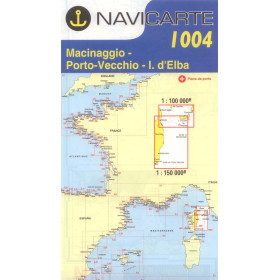
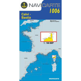
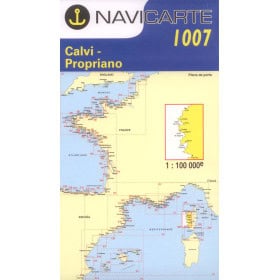
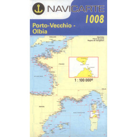
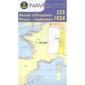
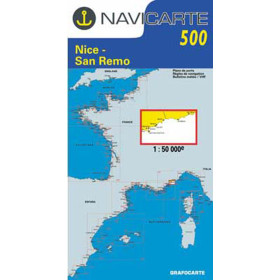
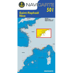
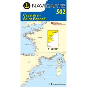
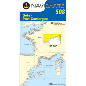
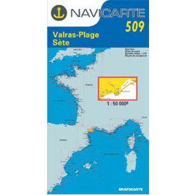
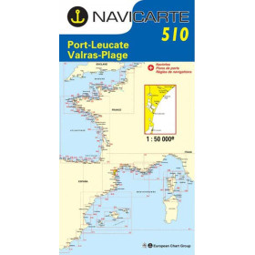
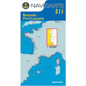
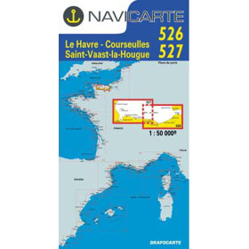
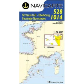
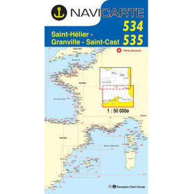
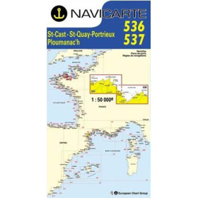
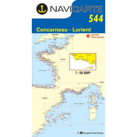
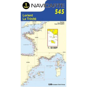
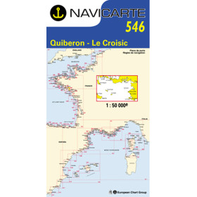
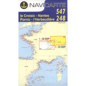
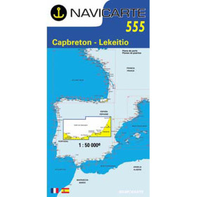
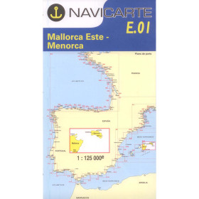
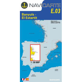
Navicarte nautical chart
The Navicarte nautical chart is designed for recreational sailing, coastal cruising and passage planning along the French coastline and selected areas of Spain. It provides a clear and detailed representation of the coastline, including soundings, depths, buoyage, channels, hazards, ports, anchorages, wrecks, rocks and regulated areas. Designed for easy reading at the chart table, Navicarte cartography combines hydrographic data with an intuitive graphic layout featuring contrasting colours and simplified symbols. Nautic Way offers a range of Navicarte charts for different sailing areas and navigation requirements, particularly in the English Channel, Atlantic and Mediterranean, as well as several formats: large folded charts, folio charts and laminated Mininav charts. A Navicarte nautical chart is also a useful complement to GPS chartplotters and electronic navigation applications, providing an overall view independent of electrical power. It is suitable for recreational sailors, fishermen, navigation schools and sailors looking for a reliable, easy-to-use paper nautical chart.

 Click here to open our interactive map and select your charts