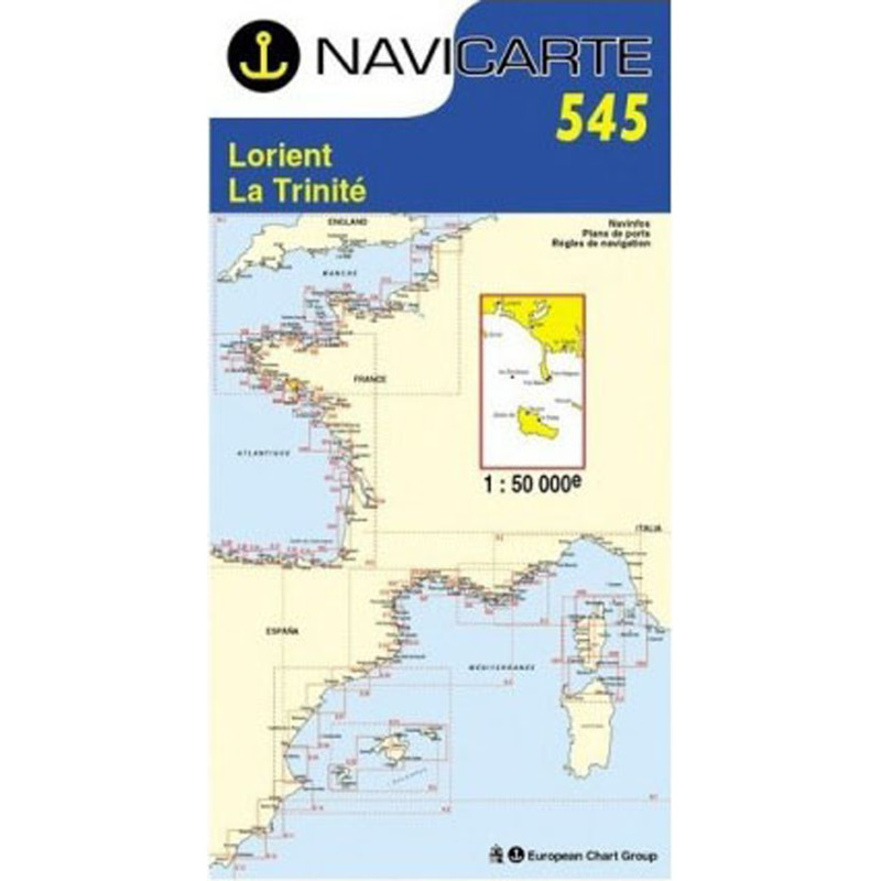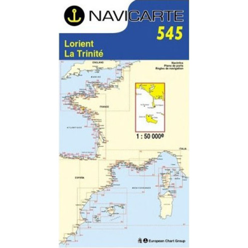





Navicarte nautical chart, coasts of France and Spain.
Data sheet
Specific References
The Navicarte 545 nautical chart covers the Lorient, La Trinité, Belle-Île and Houat area on the French Atlantic coast. This folded paper chart is designed for recreational boating and particularly for coastal navigation. Its 1:50,000 scale makes it suitable for planning routes in this part of southern Brittany while retaining a sufficiently broad view to organise a cruise or several navigation stages.
Navicarte 545 is particularly relevant for sailors looking for a nautical chart from Lorient towards Belle-Île, a navigation chart covering Houat or a paper chart for planning a cruise between several areas of southern Brittany.
The coverage of Navicarte 545 brings together several important recreational boating areas: Lorient, La Trinité, Belle-Île and Houat.
This geographical coverage makes it possible to plan a coastal itinerary without limiting route preparation to a single harbour. It is particularly useful for sailors planning a multi-stop cruise or wanting an overall view before determining the exact route.
The chart can be used to plan sailing or motorboat navigation, compare possible routes and identify areas requiring additional documentation.
At a scale of 1:50,000, one centimetre on the chart represents 500 metres on the ground.
This scale is suitable for planning coastal routes around Lorient, La Trinité, Belle-Île and Houat. It offers a useful balance between geographical coverage and chart readability.
It can be used to study:
the overall route of a cruise;
distances between different areas;
the coastline configuration;
passages requiring particular attention;
the organisation of cruise stages;
navigation planning around Belle-Île and Houat.
For approaches requiring greater precision, the navigator should naturally complement this chart with documentation at the appropriate scale.
Navicarte 545 is suitable for recreational boating and can be used aboard both sailing yachts and motorboats.
For sailing, it can be used to plan the general route of a cruise and study the organisation of navigation across the covered areas. It is particularly useful when planning passages between Lorient and the Belle-Île and Houat areas.
For motorboat navigation, it also provides a paper resource for planning coastal trips and passages between different areas.
The chart should be regarded as a route-planning and area-awareness tool rather than a substitute for all nautical documentation required for a specific passage.
Reading a nautical chart involves numerous elements, including depths, soundings, seabed information, hazards, buoyage, lights, coastal landmarks and harbour information.
These features help the navigator understand the configuration of the area and plan the route before departure.
A useful approach with Navicarte 545 is to first examine the entire charted area and then focus on the sectors through which the route will pass. This avoids limiting route planning to the shortest direct route and allows alternative options to be considered.
Paper charting remains useful even when a boat is equipped with GPS or a chartplotter.
An electronic display makes it possible to follow the vessel’s position and route precisely. A paper chart provides a broader geographical view and allows the route to be planned independently of the electronic zoom level.
Navicarte 545 can therefore be used alongside electronic navigation. The navigator can plan the general route on paper and then use GPS for position monitoring.
The paper chart also remains available in the event of an electrical problem or electronic equipment failure.
The inclusion of Belle-Île and Houat makes Navicarte 545 particularly useful for planning island navigation in southern Brittany.
It allows the navigator to organise the overall cruise, compare possible stages and anticipate the documentation required for different parts of the route.
A sailor can therefore plan an itinerary from the Lorient area, organise a passage towards the covered areas and include La Trinité, Belle-Île or Houat in the cruising programme without immediately having to change chart for every general planning decision.
Navicarte 545 is a folded paper chart with an unfolded A0 size of 118.9 × 84.1 cm.
Its folded format makes storage aboard convenient. When opened, it provides a comfortable working surface for studying the charted area at the chart table.
The paper support is designed for normal nautical use and can also be used to record information relevant to navigation planning.
Publisher: Navicarte
Chart number: 545
Coverage: Lorient, La Trinité, Belle-Île, Houat
Maritime area: Atlantic Ocean
Country: France
Type: navigation chart
Use: recreational boating
Navigation: coastal
Scale: 1:50,000
Support: paper
Format: folded chart
Unfolded size: A0, 118.9 × 84.1 cm
Language indicated: French
What area does Navicarte 545 cover?
The chart covers the Lorient, La Trinité, Belle-Île and Houat area on the French Atlantic coast.
What is the scale of Navicarte 545?
The chart is published at a scale of 1:50,000, meaning that one centimetre represents 500 metres on the ground.
Is Navicarte 545 suitable for navigation around Belle-Île?
Yes. Its coverage allows navigation around the Belle-Île area to be planned as part of a coastal route or cruise. More detailed charting may be required for areas where greater precision is needed.
Does chart 545 cover Houat?
Yes. Houat is explicitly included in the chart coverage, together with Lorient, La Trinité and Belle-Île.
Is Navicarte 545 suitable for sailing?
Yes. It is intended for recreational navigation and can be used to plan coastal sailing routes and cruises.
Can it be used aboard a motorboat?
Yes. It can also be used to plan coastal trips and routes aboard a motorboat.
Can Navicarte 545 be used with GPS?
Yes. The paper chart complements electronic navigation by providing an overall view of the area. GPS can then be used to monitor position and route.
What is the format of chart 545?
It is a folded paper nautical chart. Its unfolded size is A0, approximately 118.9 × 84.1 cm.
Is chart 545 sufficient for all navigation in the area?
It is designed for coastal navigation and route planning, but the required documentation depends on the intended route and the required level of detail. Some approaches may require larger-scale charts or additional nautical documents.
Why use a paper chart when planning a cruise?
It allows a relatively large area to be viewed simultaneously, making it easier to compare routes and plan cruise stages without depending on an electronic display.
You might also like