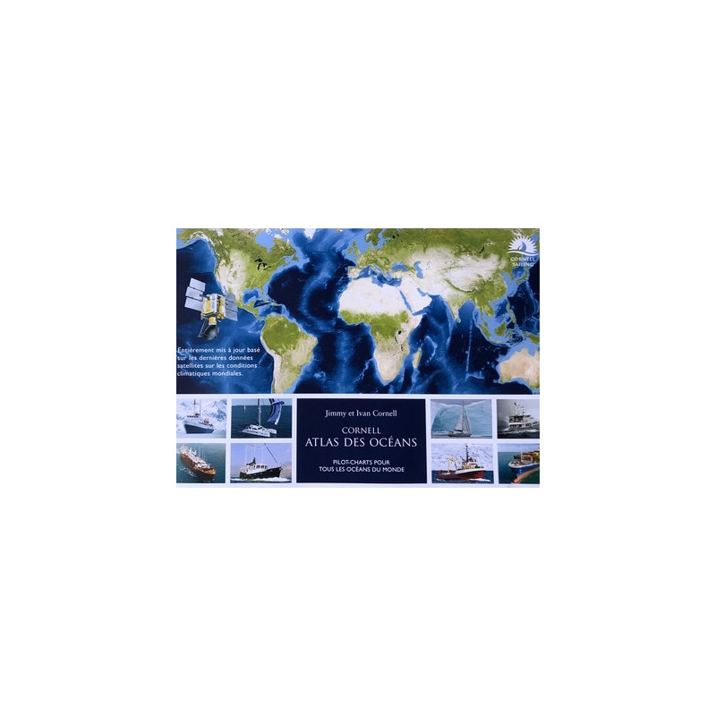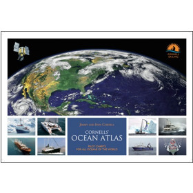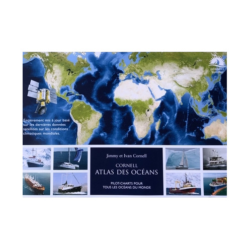




This updated ocean atlas uses 25 years of satellite data to map winds, currents, and storm tracks. Includes monthly pilot charts and tactical tips for safe offshore navigation.
Data sheet
Specific References
Planning an offshore voyage demands precision, up-to-date data, and expert insights—this atlas delivers all three. Designed for sailors, motor yachts, and cruising vessels, the Jimmy Cornell Ocean Atlas is the most comprehensive and reliable tool for ocean route planning. Unlike outdated pilot charts that fail to account for climate shifts, this third edition leverages 25 years of satellite data (2011–2016) to provide accurate, month-by-month wind and current patterns across every ocean. Whether you're crossing the Atlantic, Pacific, or Indian Ocean, this atlas ensures you navigate with confidence, avoiding unpredictable weather and optimizing your route for safety and efficiency.
Traditional pilot charts no longer reflect today’s ocean conditions due to climate change. This atlas solves that problem by analyzing 218,000 wind rose samples from the past quarter-century, offering unparalleled accuracy. Each of the 80 pilot charts maps dominant wind directions, current flows, and key meteorological features—such as the Intertropical Convergence Zone (ITCZ), tropical storm tracks, and average high-pressure system positions. With this data, you can time your departure, adjust your course, and minimize risks like adverse winds, strong currents, or storm encounters. The atlas also includes 60 detailed route charts for popular transoceanic passages, making it an indispensable companion for long-distance cruising.
Beyond raw data, this atlas provides tactical insets and weather commentary from seasoned sailors, helping you interpret conditions and make informed decisions. Monthly wind polars for high-traffic routes offer performance predictions for different sail plans, while cyclone and storm track visualizations let you steer clear of dangerous systems. The spiral-bound, large-format layout (42 x 29.7 cm) ensures easy handling on a chart table, and the high-quality printing guarantees durability for repeated use. Whether you're a solo sailor, a family on a world cruise, or a professional mariner, this atlas is your go-to reference for safe, efficient ocean navigation.
Weighing just 2.2 kg and spanning 120 pages, this atlas balances comprehensiveness with portability. The spiral binding allows it to lay flat, even in rough conditions, while the oversized format ensures clarity and readability. Every chart is meticulously designed for quick reference, with color-coded wind roses and current arrows that eliminate guesswork. From the Caribbean to the South Pacific, the Jimmy Cornell Ocean Atlas equips you with the knowledge to plan your voyage like a pro—because when you’re at sea, preparation is everything.
Navigate the World’s Oceans with Unmatched Precision
The Jimmy Cornell Ocean Atlas is the definitive planning tool for sailors, motor yachts, and cruising vessels embarking on offshore adventures. Unlike outdated pilot charts, this third edition is built on 25 years of satellite data, ensuring your route planning accounts for modern climate realities. With 80 pilot charts covering all major oceans and 60 detailed route maps for transoceanic passages, this atlas provides month-by-month wind and current patterns, storm tracks, and high-pressure system positions—critical data for safe, efficient navigation. Whether you're crossing the Atlantic, Pacific, or Indian Ocean, this resource eliminates guesswork and maximizes your voyage’s success.
Data-Driven Insights for Every Month of the Year
Climate change has rendered old pilot charts obsolete, but this atlas bridges the gap with 218,000 wind rose samples analyzed from 2011–2016. Each chart visualizes dominant wind directions, current speeds, and the Intertropical Convergence Zone (ITCZ), helping you avoid unfavorable conditions and capitalize on favorable ones. The atlas also highlights tropical storm and cyclone trajectories, allowing you to plan departures around peak storm seasons. For added precision, monthly wind polars for popular routes let you predict sail performance, while tactical insets and expert commentary provide actionable insights for real-time decision-making.
Designed for Sailors, by Sailors
Created by Jimmy and Ivan Cornell, two of the most respected names in bluewater sailing, this atlas is tailored to the needs of offshore navigators. The large-format (42 x 29.7 cm), spiral-bound design ensures durability and ease of use on a chart table, even in rough seas. Weighing just 2.2 kg and spanning 120 pages, it strikes the perfect balance between portability and detail. Whether you're a seasoned sailor or planning your first ocean crossing, this atlas equips you with the knowledge to navigate confidently—because when you're at sea, preparation is your most powerful tool.
The Jimmy Cornell Ocean Atlas combines cutting-edge data with practical design for seamless offshore navigation. This third edition features 120 pages of pilot charts and route maps, all based on 25 years of satellite data (2011–2016). The atlas includes 80 ocean-wide charts and 60 detailed route-specific maps, covering wind patterns, currents, storm tracks, and high-pressure systems. Measuring 42 x 29.7 cm and weighing 2.2 kg, it’s built for durability with a spiral binding for easy handling. Published in 2023, this French-language edition is the most up-to-date resource for sailors planning long-distance voyages.
For decades, the Cornell name has been synonymous with expertise in bluewater sailing. With a legacy of guiding sailors across the world’s oceans, their publications are trusted by cruisers, racers, and maritime professionals alike. Combining decades of firsthand experience with rigorous data analysis, their atlases and guides set the standard for offshore navigation resources, ensuring sailors have the tools they need to voyage safely and confidently.
The atlas uses satellite data from the past 25 years, specifically focusing on the years 2011 to 2016 for detailed monthly analysis.
There are 80 pilot charts covering all oceans, along with 60 detailed route charts for oceanic navigation planning.
Yes, the atlas is designed for use by sailboats, motor yachts, and cruise ships, providing relevant data for all types of vessels.
The atlas measures 42 x 29.7 cm and weighs 2.2 kg, making it a large-format reference book.
Yes, the atlas includes tactical insets, expert weather comments, and monthly wind polars for popular routes.
The atlas features a spiral binding, allowing for easy handling and use on board.
The atlas contains 218,000 wind rose data samples, providing comprehensive wind direction and strength information.
You might also like