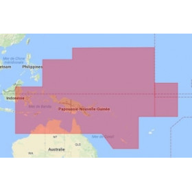
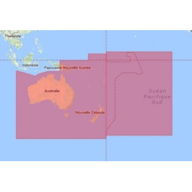
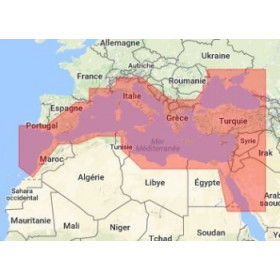
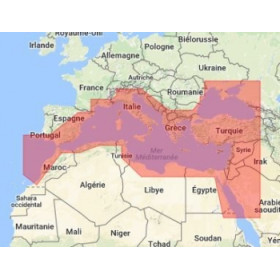
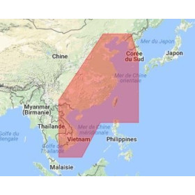
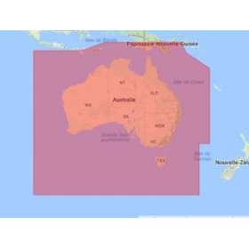
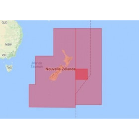
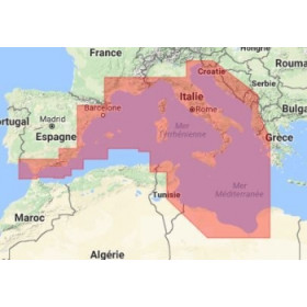
I am looking for a C-Map digital marine chart for Adrena software.
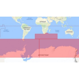
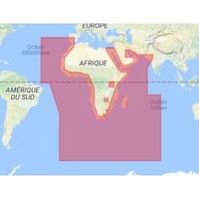
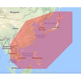
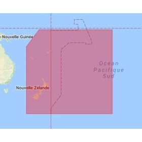
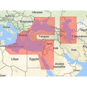
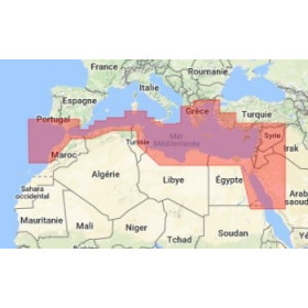
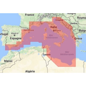
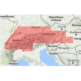
Are you looking for a C-MAP digital marine chart compatible with Adrena software to prepare a navigation, plan a route or analyse a maritime area on a computer? C-MAP digital marine charts provide essential information for route planning, including depths, soundings, depth contours, coastlines, navigation marks, lights, hazards, wrecks, channels, ports and anchorages. Used with Adrena, they can support coastal, offshore, ocean or long-distance navigation planning, depending on the available geographical coverage and data compatibility. Choosing a C-MAP marine chart for Adrena depends on the navigation area, the required chart coverage, the data format and the version of the software being used. These digital charts make it easier to analyse a maritime area and prepare a route before departure. Nautic Way can help you identify the C-MAP digital chart suitable for Adrena, your navigation equipment and your sailing programme.

 Click here to open our interactive map and select your charts