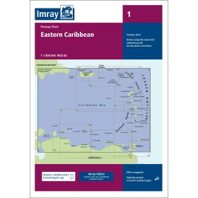
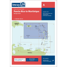
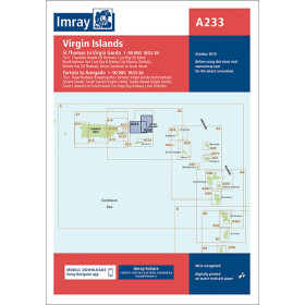
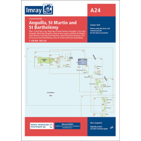
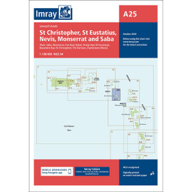
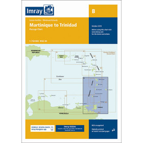
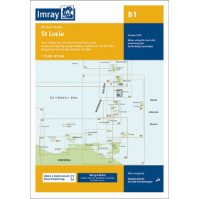
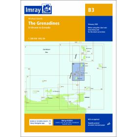
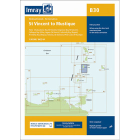
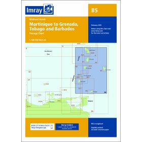
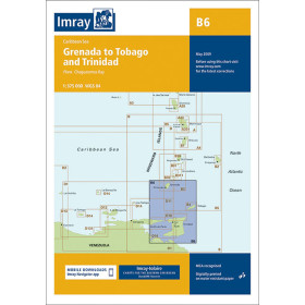
Imray nautical chart gulf of Mexico, Caribbean sea
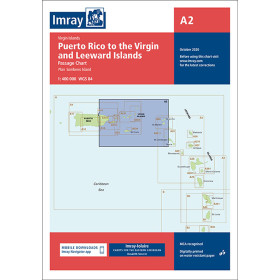
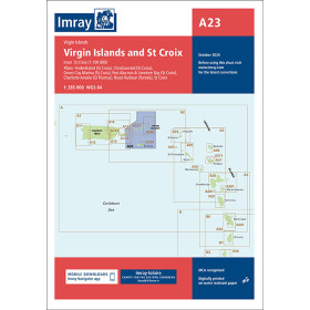
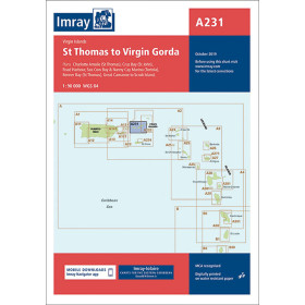
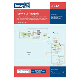
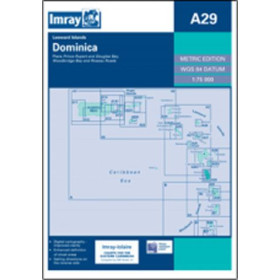
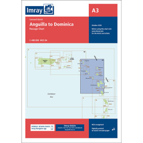
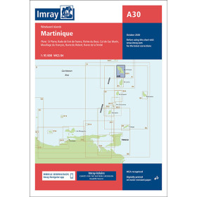
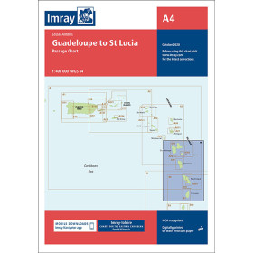
Stretching from Puerto Rico to the coasts of Trinidad and Tobago, the Caribbean basin is one of the world’s most demanding sailing areas, where coral passes, trade winds and local currents require precise nautical documentation. Nautic Way, an authorised Imray agent, offers nautical charts covering the entire area: passage charts for large-scale planning (Imray 1 for the Eastern Caribbean, Imray A from Puerto Rico to Martinique), coastal and regional charts for identifying buoyage (Imray A28 Guadeloupe, A30 Martinique), and harbour plans for complex entrances (Culebra Island A131, North Coast of Trinidad J10). For the Grenadines, chart B3 (St Vincent to Grenada), complemented by B31 and B32, is the key reference.

 Click here to open our interactive map and select your charts
Vue carte
Vue liste
49 produits correspondent à vos critères.
Effacer
Vue carte
Vue liste
49 produits correspondent à vos critères.