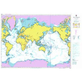
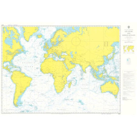
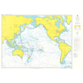
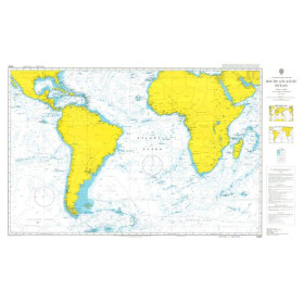
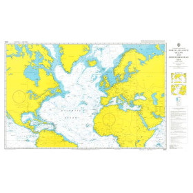
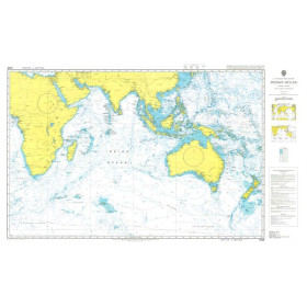
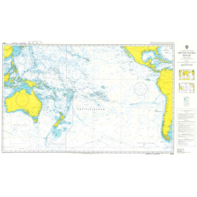
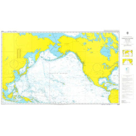
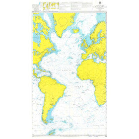
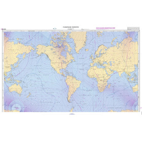
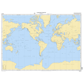
Nautical chart for the planisphere
Are you looking for a world nautical chart to plan a round-the-world voyage, an ocean crossing or study major international shipping routes? This type of chart covers the world’s main oceans and seas: the Atlantic, Pacific, Indian, Arctic and Southern Oceans, as well as the Mediterranean, Caribbean Sea, North Sea and Red Sea. It allows you to locate major routes between ports such as Brest, Lisbon, Las Palmas, Cape Town, Durban, Mumbai, Singapore, Sydney, Auckland, Papeete, Honolulu, Panama, New York and Rotterdam. World nautical charts are available from publishers and hydrographic authorities such as SHOM, Admiralty and other specialists in maritime cartography. Ideal for planning a sailing circumnavigation, transatlantic crossing or long-distance voyage, a world nautical chart provides an overview of ocean routes, major sailing areas and distances between continents. It is also a useful reference for sailors, sailing schools and maritime professionals.

 Click here to open our interactive map and select your charts