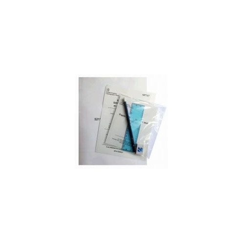




Global navigation made secure with 6 waterproof nautical charts (5211-5216), featuring SOLAS-compliant updates, meteorological data, and plotting tools for professionals and emergencies.
Data sheet
Specific References
Navigate the World’s Oceans with Confidence
This essential nautical chart set is engineered for professionals who demand precision, reliability, and compliance in maritime navigation. Covering all major ocean basins—North and South Atlantic, Indian Ocean (with seasonal variations), and North and South Pacific—these six Admiralty charts (5211-5216) provide comprehensive coverage for global voyages. Printed on demand with the latest hydrographic updates, they ensure accuracy in every detail, from depth soundings to navigational hazards, making them indispensable for commercial shipping, offshore operations, and emergency preparedness.
Built for Compliance and Safety
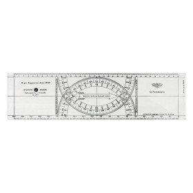
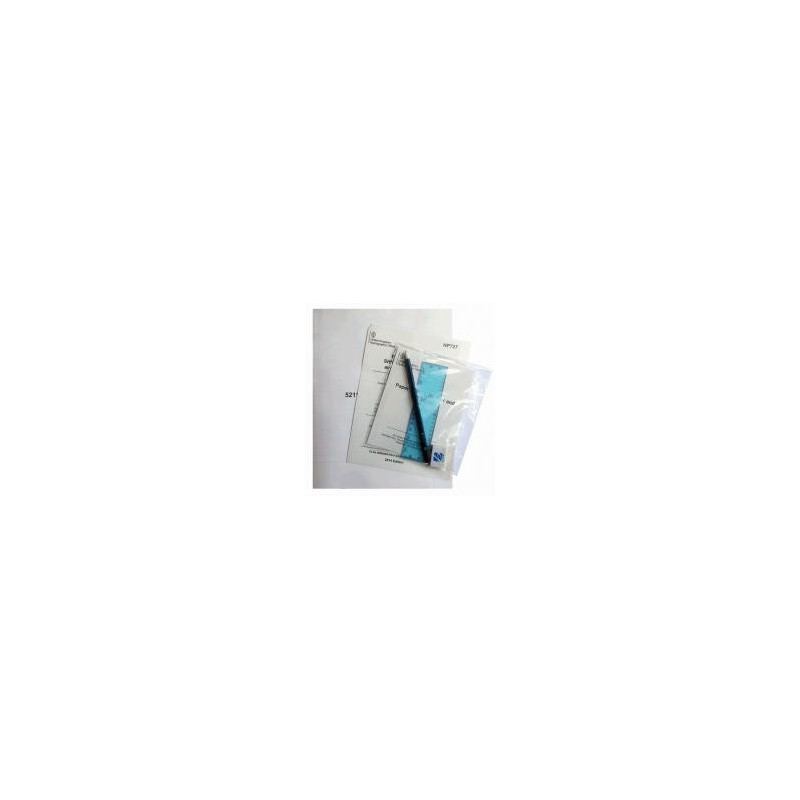
Mandatory under SOLAS (Safety of Life at Sea) regulations, this chart set is designed to meet the strictest international maritime safety standards. Each chart is based on the WGS 84 geodetic system, guaranteeing seamless integration with GPS technology for real-time positioning. The included waterproof wallet protects the charts from harsh marine conditions, while the bundled plotting tools—pencil, eraser, paper, and protractor—allow for immediate course adjustments and route planning, even in challenging environments.
Precision Where It Matters Most
Beyond standard navigation, this set provides critical data for celestial navigation, including sunrise and sunset bearing tables for latitudes from -85° to 85°. Whether navigating polar regions, crossing the equator, or transiting high-traffic shipping lanes, these charts deliver the clarity and detail needed to make informed decisions. Updated with the latest oceanographic and meteorological data, they help mariners anticipate weather patterns, tidal currents, and other dynamic factors that impact safe passage.
Engineered for Professionals, Trusted Worldwide
From merchant fleets to offshore support vessels, this chart set is the preferred choice for those who cannot afford compromise. Its durability, accuracy, and compliance with international standards make it a cornerstone of maritime safety. Whether used for routine voyages or emergency scenarios, it provides the confidence and control needed to navigate the world’s oceans with precision.
This set includes six Admiralty charts (5211-5216) covering global ocean basins, printed on demand with the latest updates. Housed in a durable waterproof wallet, it features plotting tools (pencil, eraser, paper, protractor) and sunrise/sunset bearing tables. Weighing 500 g, the charts are SOLAS-compliant, WGS 84-compatible, and designed for professional maritime use.
With over two centuries of expertise in hydrography, this organization sets the global standard for nautical charts and maritime safety. Recognized by commercial fleets, navies, and offshore industries worldwide, their publications are trusted for unmatched accuracy, reliability, and compliance with international regulations. Each chart is meticulously updated to reflect the latest navigational data, ensuring mariners have the most precise tools for safe and efficient voyages.
The charts cover all major oceans worldwide: North and South Atlantic, Indian Ocean (with seasonal variations), and North and South Pacific.
Yes, the charts are printed on demand and include the most recent oceanographic, meteorological, and navigational updates based on the WGS 84 GPS-compatible system.
The wallet includes a pencil, eraser, paper, and a protractor, along with a sunrise and sunset bearing table for northern and southern latitudes.
Yes, it meets SOLAS (Safety of Life at Sea) regulations and is mandatory for all commercial and passenger vessels.
The entire set, including the charts and accessories, weighs approximately 500 grams.
Yes, they are designed for professional mariners, offshore recreational boaters, and emergency situations at sea.
The charts were last updated in 2014, with real-time corrections applied at the time of printing.
You might also like



















![Admiralty - NP247[1] - Annual Summary of Admirlaty Notice to Mariners Pt.1](https://www.nautic-way.com/80676-home_default/admiralty-np247-1-annual-summary-of-admirlaty-notice-to-mariners-pt1-maritime-bookshop-nautic-way.jpg)
![Admiralty - NP247[2] - Annual Summary of Admirlaty Notice to Mariners Pt.2](https://www.nautic-way.com/80678-home_default/admiralty-np247-2-annual-summary-of-admirlaty-notice-to-mariners-pt2-maritime-bookshop-nautic-way.jpg)


![Admiralty - eNP247[1] - Annual Summary of Admirlaty Notice to Mariners Pt.1](https://www.nautic-way.com/80716-home_default/admiralty-enp247-1-annual-summary-of-admirlaty-notice-to-mariners-pt1-maritime-bookshop-nautic-way.jpg)
![Admiralty - eNP247[2] - Annual Summary of Admirlaty Notice to Mariners Pt.2](https://www.nautic-way.com/80718-home_default/admiralty-enp247-2-annual-summary-of-admirlaty-notice-to-mariners-pt2-maritime-bookshop-nautic-way.jpg)