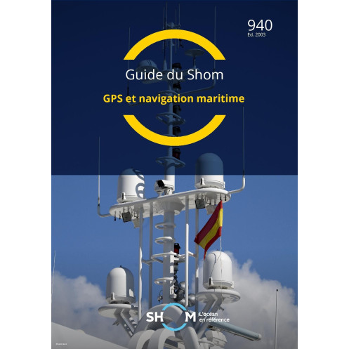





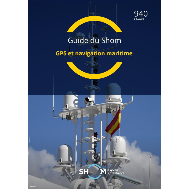
Master GPS and maritime navigation with this detailed digital guide. Covers system operations, position calculation, and error correction for precise and reliable sailing.
Data sheet
Specific References
Unlock Precision in Maritime Navigation with This Essential Digital Guide
Navigate the complexities of GPS technology with confidence using this comprehensive digital guide, designed specifically for professionals in the merchant marine. This publication demystifies the intricacies of satellite-based positioning, offering a clear and detailed exploration of how GPS systems function at sea. From the fundamentals of signal transmission to advanced techniques like differential GPS, this guide provides the knowledge needed to ensure accurate and reliable navigation in any maritime environment.
In-Depth Technical Insights for Real-World Application
Dive into the technical aspects of GPS navigation with a focus on practical application. This guide breaks down the process of position calculation, explaining how raw satellite data is transformed into precise navigational coordinates. It also addresses the challenges of plotting positions on nautical charts, identifying common sources of error and providing strategies to minimize their impact. Whether you're navigating coastal waters or open seas, this resource equips you with the tools to interpret GPS data effectively and make informed decisions on the bridge.
Designed for the Demands of Modern Seafaring
Tailored to the needs of maritime professionals, this digital guide is more than just a technical manual—it’s a practical companion for daily operations. The content is structured to support both routine navigation and complex scenarios, ensuring that users can rely on it in any situation. The digital format allows for instant access, making it easy to reference critical information when it matters most. With updates included for one year, this guide remains a relevant and valuable resource long after purchase.
Secure, Convenient, and Built for Professional Use
Delivered exclusively in digital format (PDF), this guide is designed for the modern maritime professional. Access your copy instantly via a secure download link or WeTransfer, eliminating the need for physical storage and ensuring you have the information you need, wherever you are. Licensed for use on up to five workstations per client, this guide is ideal for teams or individuals who require reliable access across multiple devices. Plus, with complimentary updates for one year, you can trust that your knowledge stays current with the latest advancements in GPS technology.
This digital guide provides a thorough exploration of GPS technology and its application in maritime navigation. Updated to the GAN 0329 standard as of July 9, 2003, it offers unlimited validity, ensuring long-term relevance for professionals. Available exclusively in digital PDF format, the guide is delivered via secure download, with a license permitting use on up to five workstations per client. Complimentary updates are included for one year if a new version is released, making this a cost-effective and reliable resource for the merchant marine sector.
With a legacy rooted in maritime expertise, this publisher is a trusted authority in hydrography and oceanography, providing essential resources for navigation and safety at sea. Their publications are renowned for their technical precision and practical application, making them indispensable tools for professionals in the maritime industry.
The guide is available exclusively in digital PDF format, with no physical paper version provided.
The guide is delivered via internet through WeTransfer or a download link sent to your email.
Yes, the guide can be used on up to 5 different computer workstations per customer.
Yes, free updates are provided for one year if a new version of the guide is released.
The guide is updated to reference GAN 0329, as of the edition dated July 9, 2003.
Yes, the guide has an unlimited validity period from the date of purchase.
No, the guide is only available in French.
You might also like












![Admiralty - NP247[1] - Annual Summary of Admirlaty Notice to Mariners Pt.1](https://www.nautic-way.com/80676-home_default/admiralty-np247-1-annual-summary-of-admirlaty-notice-to-mariners-pt1-maritime-bookshop-nautic-way.jpg)
![Admiralty - NP247[2] - Annual Summary of Admirlaty Notice to Mariners Pt.2](https://www.nautic-way.com/80678-home_default/admiralty-np247-2-annual-summary-of-admirlaty-notice-to-mariners-pt2-maritime-bookshop-nautic-way.jpg)


![Admiralty - eNP247[1] - Annual Summary of Admirlaty Notice to Mariners Pt.1](https://www.nautic-way.com/80716-home_default/admiralty-enp247-1-annual-summary-of-admirlaty-notice-to-mariners-pt1-maritime-bookshop-nautic-way.jpg)
![Admiralty - eNP247[2] - Annual Summary of Admirlaty Notice to Mariners Pt.2](https://www.nautic-way.com/80718-home_default/admiralty-enp247-2-annual-summary-of-admirlaty-notice-to-mariners-pt2-maritime-bookshop-nautic-way.jpg)